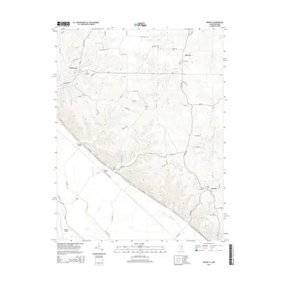
2015 Map of Renault
USGS Topo · Published 2015About this map
Maeystown sits at the northern edge of this landscape, where the elevation begins to drop toward the Mississippi River floodplains. The terrain is characterized by numerous small drainages such as Maeystown Cr and Fults Cr, which cut through the limestone bluffs. Small settlements like Fults and Renault are connected by a network of rural roads, including the prominent Kaskaskia Rd and Bluff Rd that follow the natural topography.
Find a feature on this map
61 named features on this map. Tap any name to fly to it.
Don’t see what you’re looking for? This feature index may not catch every label — zoom into the map to look around manually.
Map Details
Editions of this 2015 Renault Map
This is the sole edition of this map. No revisions or reprints were ever made.
Other maps of this area

1910 · Waterloo
USGS Topo · 1:62,500

1912 · Kimmswick
USGS Topo · 1:62,500

1913 · Waterloo
USGS Topo · 1:62,500

1915 · Renault
USGS Topo · 1:62,500

1915 · Crystal City
USGS Topo · 1:62,500

1916 · Kimmswick
USGS Topo · 1:62,500

1940 · Renault
USGS Topo · 1:62,500

1948 · Kimmswick
USGS Topo · 1:62,500

1949 · Saint Louis
USGS Topo · 1:250,000

1949 · Crystal City
USGS Topo · 1:62,500