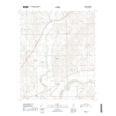
2018 Map of Renfroe
USGS Topo · Published 2018About this map
Lobutcha Creek and its many tributaries, including Coon Cr and Horne Br, dominate the drainage patterns of this Leake County landscape. Small rural communities like Renfroe, Luther, and Coosa are connected by a network of winding roads such as Rocky Point Rd and Reformation Rd. The area is characterized by numerous family and community burial grounds, such as Atkins Cem and Midway Cem, which offer significant value for genealogical research.
Find a feature on this map
79 named features on this map. Tap any name to fly to it.
Don’t see what you’re looking for? This feature index may not catch every label — zoom into the map to look around manually.
Map Details
Editions of this 2018 Renfroe Map
This is the sole edition of this map. No revisions or reprints were ever made.
Other maps of this area

1953 · Meridian
USGS Topo · 1:250,000

1957 · Meridian
USGS Topo · 1:250,000

1961 · Carthage
USGS Topo · 1:62,500

1962 · Edinburg
USGS Topo · 1:62,500

1962 · Thomastown
USGS Topo · 1:62,500

1965 · Meridian
USGS Topo · 1:250,000

1972 · McAfee
USGS Topo · 1:24,000

1972 · Madden
USGS Topo · 1:24,000

1984 · Carthage
USGS Topo · 1:100,000
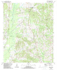
1989 · Singleton
USGS Topo · 1:24,000