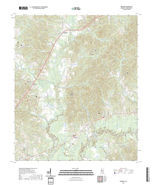
2024 Map of Renfroe
USGS Topo · Published 2024About this map
Lobutcha Creek and its many tributaries, including Coon Creek and Horne Branch, weave through this rural portion of Leake County. The landscape is defined by small, dispersed communities like Renfroe, Midway, and Sunrise, which are connected by a network of local roads such as Reformation Rd and Battle Bluff Rd. The prevalence of family and community burial sites, from Atkins Cem to the Sunrise Memorial Garden, suggests a deeply rooted local history and a long-standing pattern of family-centered settlement in the area. To the south, the Pearl River forms a significant boundary, with Pole Bridge Branch and Goshen Branch draining the surrounding lowlands. The presence of Jolly Field and the scattered nature of the homesites reflect the enduring agricultural and residential character of this Mississippi interior.
Find a feature on this map
77 named features on this map. Tap any name to fly to it.
Don’t see what you’re looking for? This feature index may not catch every label — zoom into the map to look around manually.
Map Details
Editions of this 2024 Renfroe Map
This is the sole edition of this map. No revisions or reprints were ever made.
Other maps of this area

1953 · Meridian
USGS Topo · 1:250,000

1957 · Meridian
USGS Topo · 1:250,000

1961 · Carthage
USGS Topo · 1:62,500

1962 · Edinburg
USGS Topo · 1:62,500

1962 · Thomastown
USGS Topo · 1:62,500

1965 · Meridian
USGS Topo · 1:250,000

1972 · McAfee
USGS Topo · 1:24,000

1972 · Madden
USGS Topo · 1:24,000

1984 · Carthage
USGS Topo · 1:100,000
1989 · Singleton
USGS Topo · 1:24,000