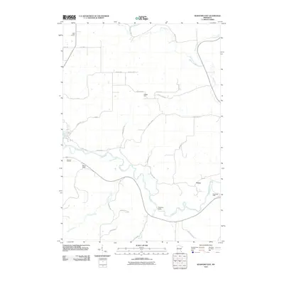
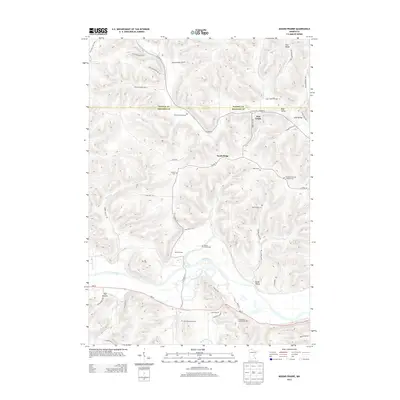
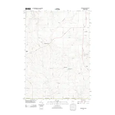
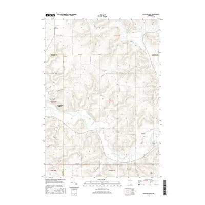
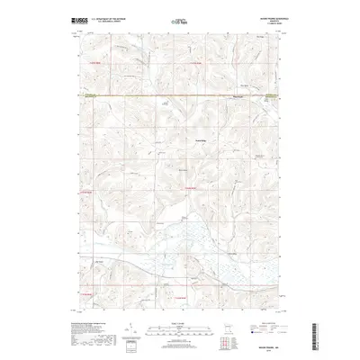
2022 Map of Reno
USGS Topo · Published 2022About this map
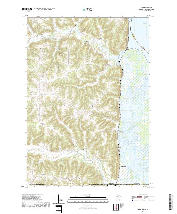
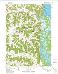
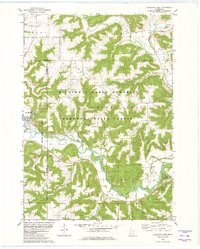
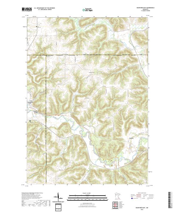
Freeburg and Reno anchor this landscape where the bluffs of Houston County meet the intricate wetlands of the Mississippi River valley. The high ground is defined by prominent features like Jefferson Ridge and Twin Bluffs, while the eastern portion of the map is dominated by a complex network of backwaters including Minnesota Slough, Bluff Slough, and Hayshore Lake. For those researching local heritage, the map identifies several distinct burial grounds such as Saint Nicholas Catholic Cem and the Old Methodist Cem, which speak to the early community foundations in the region. The transition from the rugged upland ridges to the river's edge is marked by steep elevation changes and drainage systems like Winnebago Creek and Crooked Cr. Near the southern border, the settlement of New Albin sits just above the state line, while Millstone Lndg serves as a notable landmark along the river's edge.
Find a feature on this map
62 named features on this map. Tap any name to fly to it.
Don’t see what you’re looking for? This feature index may not catch every label — zoom into the map to look around manually.
Map Details
Editions of this 2022 Reno Map
This is the sole edition of this map. No revisions or reprints were ever made.
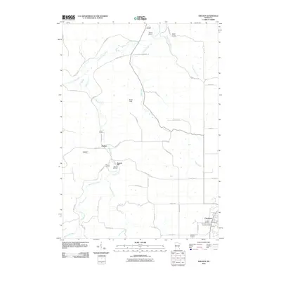
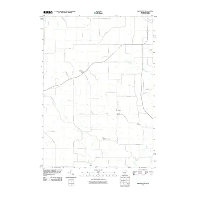
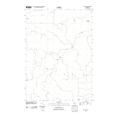
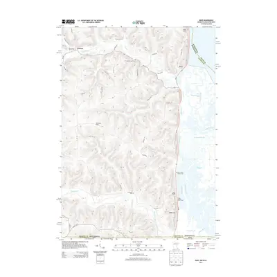
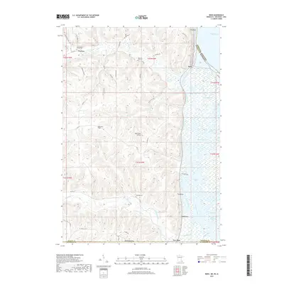
Historical Maps of New Albin Through Time
36 maps found
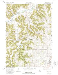
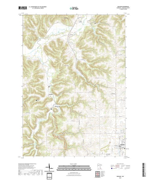
1965 Sheldon
Houston County, MN

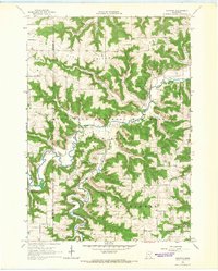
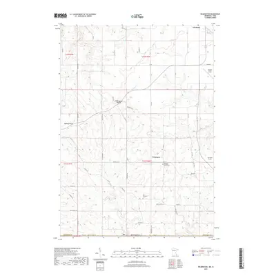
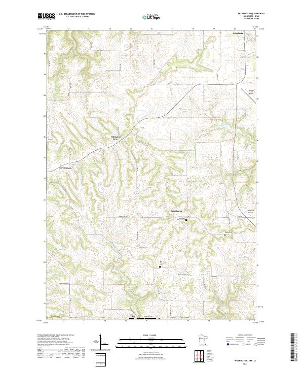
1965 Wilmington
Houston County, MN
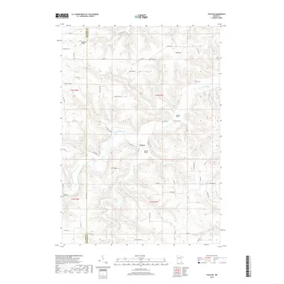
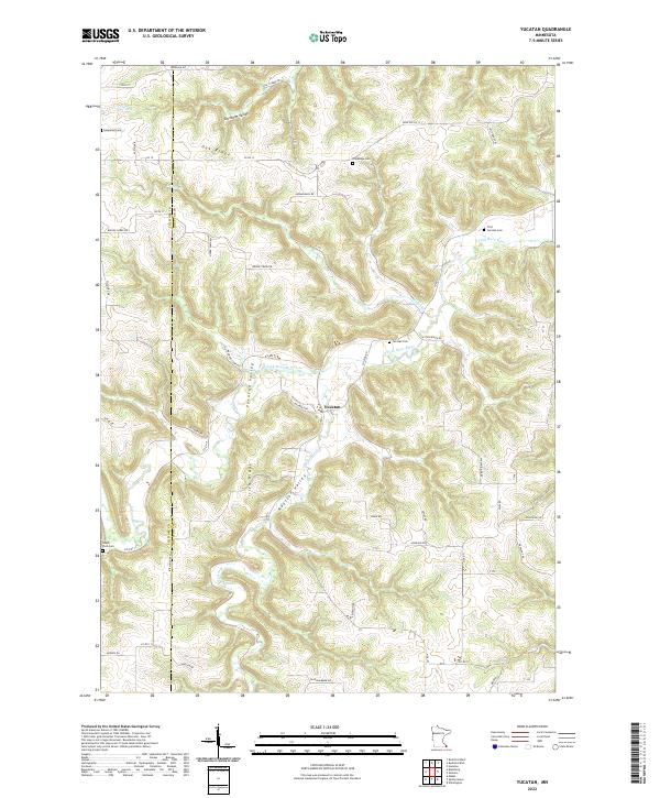
1965 Yucatan
Houston County, MN
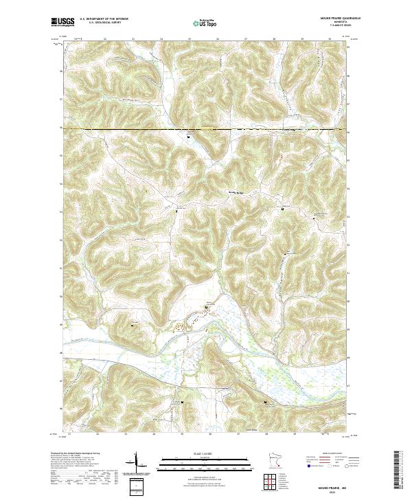
1973 Mound Prairie
Houston County, MN
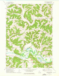
1980 Reno
Houston County, MN
1980 Rushford East
Houston County, MN
2010 Mound Prairie
Houston County, MN
2010 Reno
Houston County, MN
2010 Rushford East
Houston County, MN
2010 Sheldon
Houston County, MN
2010 Wilmington
Houston County, MN
2010 Yucatan
Houston County, MN
2013 Mound Prairie
Houston County, MN
2013 Reno
Houston County, MN
2013 Rushford East
Houston County, MN
2013 Sheldon
Houston County, MN
2013 Wilmington
Houston County, MN
2013 Yucatan
Houston County, MN
2016 Mound Prairie
Houston County, MN
2016 Reno
Houston County, MN
2016 Rushford East
Houston County, MN
2016 Sheldon
Houston County, MN
2016 Wilmington
Houston County, MN
2016 Yucatan
Houston County, MN
2019 Mound Prairie
Houston County, MN
2019 Reno
Houston County, MN
2019 Rushford East
Houston County, MN
2019 Sheldon
Houston County, MN
2019 Wilmington
Houston County, MN
2019 Yucatan
Houston County, MN
2022 Mound Prairie
Houston County, MN
2022 Reno
Houston County, MN
2022 Rushford East
Houston County, MN
2022 Sheldon
Houston County, MN
2022 Wilmington
Houston County, MN
2022 Yucatan
Houston County, MN