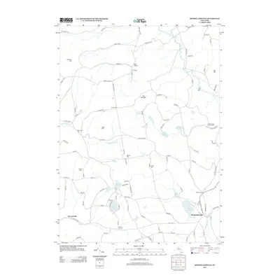
2013 Map of Rensselaerville
USGS Topo · Published 2013About this map
Rensselaerville anchors the southeast corner of this upstate New York landscape, situated where Tenmile Cr and Rensselaerville Falls meet. The area is defined by a network of upland ridges and narrow hollows, including West Mountain, North Hill, and East Hill. Settlement patterns follow the winding paths of rural roads like Bradt Hollow Rd and Canaday Hill Rd, connecting small clusters such as Zucks Corners and Shoefelt Corners.
Find a feature on this map
105 named features on this map. Tap any name to fly to it.
Don’t see what you’re looking for? This feature index may not catch every label — zoom into the map to look around manually.
Map Details
Editions of this 2013 Rensselaerville Map
This is the sole edition of this map. No revisions or reprints were ever made.
Other maps of this area

1893 · Durham
USGS Topo · 1:62,500

1894 · Durham
USGS Topo · 1:62,500

1898 · Schoharie
USGS Topo · 1:62,500

1900 · Schoharie
USGS Topo · 1:62,500

1900 · Schoharie
USGS Topo · 1:31,680

1900 · Berne
USGS Topo · 1:62,500

1901 · Gilboa
USGS Topo · 1:62,500

1903 · Gilboa
USGS Topo · 1:62,500

1903 · Berne
USGS Topo · 1:62,500
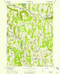
1943 · Westerlo
USGS Topo · 1:24,000