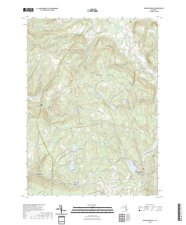
2023 Map of Rensselaerville
USGS Topo · Published 2023About this map
Rensselaerville sits at the foot of the Helderberg escarpment, where the cascading Rensselaer Falls transitions into the winding Tenmile Creek. This survey details a landscape defined by sharp elevation changes and high-altitude water bodies, including Myosotis Lake and Crystal Lake. The terrain is marked by prominent peaks such as Cook Hill and West Mountain, while the valley floors are home to established settlements like Hawversville.
Find a feature on this map
104 named features on this map. Tap any name to fly to it.
Don’t see what you’re looking for? This feature index may not catch every label — zoom into the map to look around manually.
Map Details
Editions of this 2023 Rensselaerville Map
This is the sole edition of this map. No revisions or reprints were ever made.
Other maps of this area

1893 · Durham
USGS Topo · 1:62,500

1894 · Durham
USGS Topo · 1:62,500

1898 · Schoharie
USGS Topo · 1:62,500

1900 · Schoharie
USGS Topo · 1:62,500

1900 · Schoharie
USGS Topo · 1:31,680

1900 · Berne
USGS Topo · 1:62,500

1901 · Gilboa
USGS Topo · 1:62,500

1903 · Gilboa
USGS Topo · 1:62,500

1903 · Berne
USGS Topo · 1:62,500
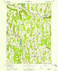
1943 · Westerlo
USGS Topo · 1:24,000