
1949 Map of Renton
USGS Topo · Published 1956About this map
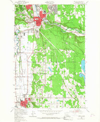
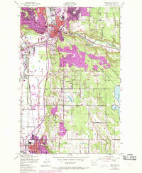
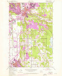
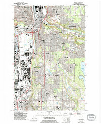
Renton serves as a major hub for industry and transport in the late 1940s, anchored by the Renton Airport and the complex confluence of the Black River and Cedar River. This era shows a landscape transitioning between its industrial roots and growing residential suburbanization. Significant rail networks including the Northern Pacific, Union Pacific, and Great Northern cross the valley near Tukwila, illustrating the region's importance as a freight corridor.
Find a feature on this map
51 named features on this map. Tap any name to fly to it.
Don’t see what you’re looking for? This feature index may not catch every label — zoom into the map to look around manually.
Map Details
Editions of this 1949 Renton Map
5 editions found
Other maps of this area

1894 · Seattle
USGS Topo · 1:62,500

1895 · Snohomish
USGS Topo · 1:125,000

1897 · Tacoma
USGS Topo · 1:125,000

1897 · Seattle
USGS Topo · 1:125,000

1900 · Tacoma
USGS Topo · 1:125,000

1908 · Seattle
USGS Topo · 1:62,500

1909 · Seattle Special
USGS Topo · 1:62,500

1949 · Maple Valley
USGS Topo · 1:24,000

1949 · Black Diamond
USGS Topo · 1:24,000

1949 · Poverty Bay
USGS Topo · 1:24,000