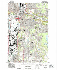
1949 Map of Renton
USGS Topo · Published 1995About this map
The Cedar River and Green River valleys define this industrial and residential landscape during a period of rapid suburban expansion. Centered on Renton, the map shows the critical infrastructure of the mid-century, including the Renton Municipal Airport and the complex rail network of the Chicago Milwaukee St Paul and Pacific. The industrial character of the era is evident at the Black River Quarry and the Sewage Disposal Plant near Tukwila.
Find a feature on this map
82 named features on this map. Tap any name to fly to it.
Don’t see what you’re looking for? This feature index may not catch every label — zoom into the map to look around manually.
Map Details
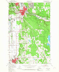
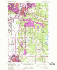
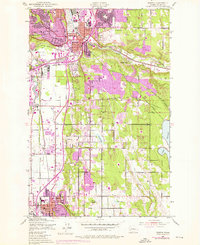
Editions of this 1949 Renton Map
5 editions found

Other maps of this area

1894 · Seattle
USGS Topo · 1:62,500

1895 · Snohomish
USGS Topo · 1:125,000

1897 · Tacoma
USGS Topo · 1:125,000

1897 · Seattle
USGS Topo · 1:125,000

1900 · Tacoma
USGS Topo · 1:125,000

1908 · Seattle
USGS Topo · 1:62,500

1909 · Seattle Special
USGS Topo · 1:62,500

1949 · Maple Valley
USGS Topo · 1:24,000

1949 · Black Diamond
USGS Topo · 1:24,000

1949 · Poverty Bay
USGS Topo · 1:24,000