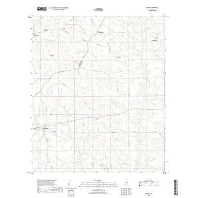
2018 Map of Repton
USGS Topo · Published 2018About this map
The town of Repton serves as a focal point in this southern Alabama landscape, where the boundary between Monroe Co and Conecuh Co winds through a network of creeks and timberland. The settlement pattern is defined by rural crossroads and small community centers like Bermuda, Drewry, and Nichburg. Waterways including Burnt Corn Cr, Escambia Cr, and Brushy Cr dictate the local topography, carving paths through the terrain that historically influenced road placement and property lines.
Find a feature on this map
61 named features on this map. Tap any name to fly to it.
Don’t see what you’re looking for? This feature index may not catch every label — zoom into the map to look around manually.
Map Details
Editions of this 2018 Repton Map
This is the sole edition of this map. No revisions or reprints were ever made.
Other maps of this area

1953 · Andalusia
USGS Topo · 1:250,000

1957 · Andalusia
USGS Topo · 1:250,000

1971 · Range
USGS Topo · 1:24,000

1971 · Castleberry
USGS Topo · 1:24,000

1971 · Belleville
USGS Topo · 1:24,000

1971 · China
USGS Topo · 1:24,000

1971 · Burnt Corn
USGS Topo · 1:24,000

1971 · Repton
USGS Topo · 1:24,000

1972 · Monroeville
USGS Topo · 1:24,000

1972 · Frisco City SE
USGS Topo · 1:24,000