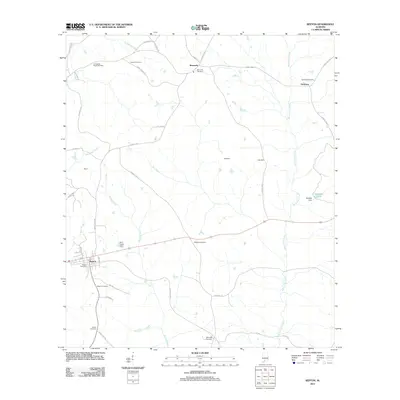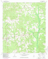
1971 Map of Repton
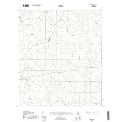
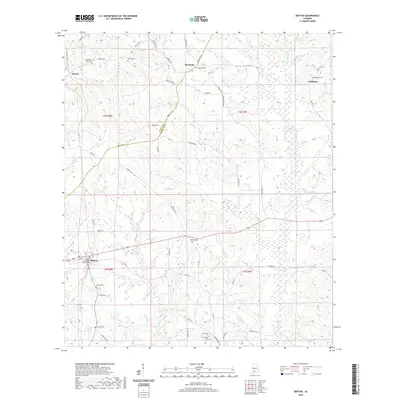
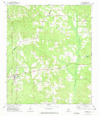
USGS Topo · Published 1986About this map
Repton serves as a primary hub in this corner of southern Alabama, where the Seaboard rail line cuts across the landscape, connecting small rural communities. The map details the transition from the rolling hills of the coastal plain to the bottomlands of Burnt Corn Creek, which dominates the eastern half of the quadrangle. Scattered settlements like Bermuda, Drewry, and Nichburg are documented alongside numerous small Cem markers and local landmarks like Beulah Ch and Oak Grove Ch, providing a precise record of the area's social geography during the early 1970s.
Find a feature on this map
14 named features on this map. Tap any name to fly to it.
Don’t see what you’re looking for? This feature index may not catch every label — zoom into the map to look around manually.
Map Details
Editions of this 1971 Repton Map
2 editions found
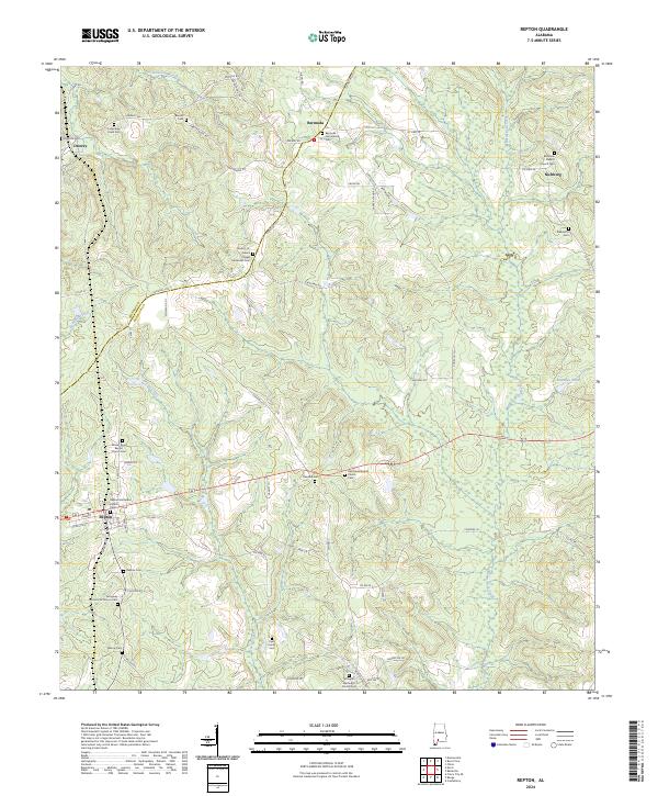
Historical Maps of Repton Through Time
6 maps found