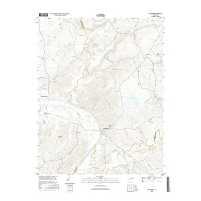
2022 Map of Repton
USGS Topo · Published 2022About this map
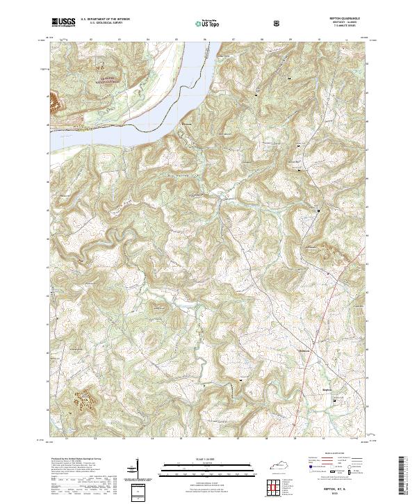
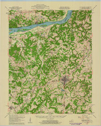
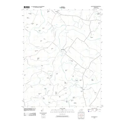
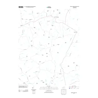
The Ohio River flows along the northwestern boundary of this Crittenden County landscape, where the terrain breaks into a complex series of ridges and hollows such as Big Hollow and Pigpen Hollow. The settlement patterns here are defined by small rural hubs like Mattoon and Repton, connected by a network of family-named roads including Roe Wafford Rd and Collie Brown Rd. The map reveals a dense distribution of small family and community burial grounds, from Walker Cem to the Repton Cem, which serve as vital markers for local genealogical research.
Find a feature on this map
97 named features on this map. Tap any name to fly to it.
Don’t see what you’re looking for? This feature index may not catch every label — zoom into the map to look around manually.
Map Details
Editions of this 2022 Repton Map
This is the sole edition of this map. No revisions or reprints were ever made.
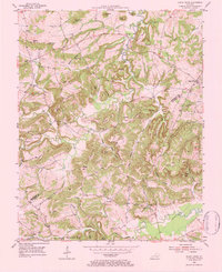
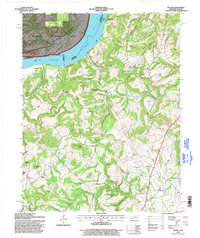
Historical Maps of Repton Through Time
28 maps found

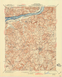
1921 Fords Ferry
Crittenden County, KY
1925 Cave In Rock
Crittenden County, KY
1954 Blackford
Crittenden County, KY
1954 Dycusburg
Crittenden County, KY
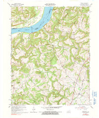
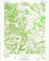
1954 Repton
Crittenden County, KY
1954 Shady Grove
Crittenden County, KY
1958 Cave In Rock
Crittenden County, KY
1996 Repton
Crittenden County, KY
2010 Blackford
Crittenden County, KY
2010 Dycusburg
Crittenden County, KY
2010 Shady Grove
Crittenden County, KY
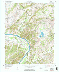
2011 Repton
Crittenden County, KY
2013 Blackford
Crittenden County, KY
2013 Dycusburg
Crittenden County, KY
2013 Repton
Crittenden County, KY
2013 Shady Grove
Crittenden County, KY
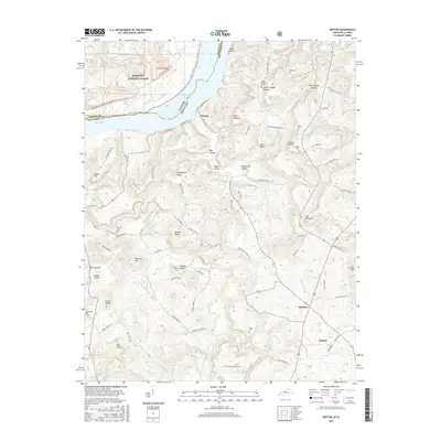
2016 Blackford
Crittenden County, KY
2016 Dycusburg
Crittenden County, KY
2016 Repton
Crittenden County, KY
2016 Shady Grove
Crittenden County, KY
2019 Blackford
Crittenden County, KY
2019 Dycusburg
Crittenden County, KY
2019 Repton
Crittenden County, KY
2019 Shady Grove
Crittenden County, KY
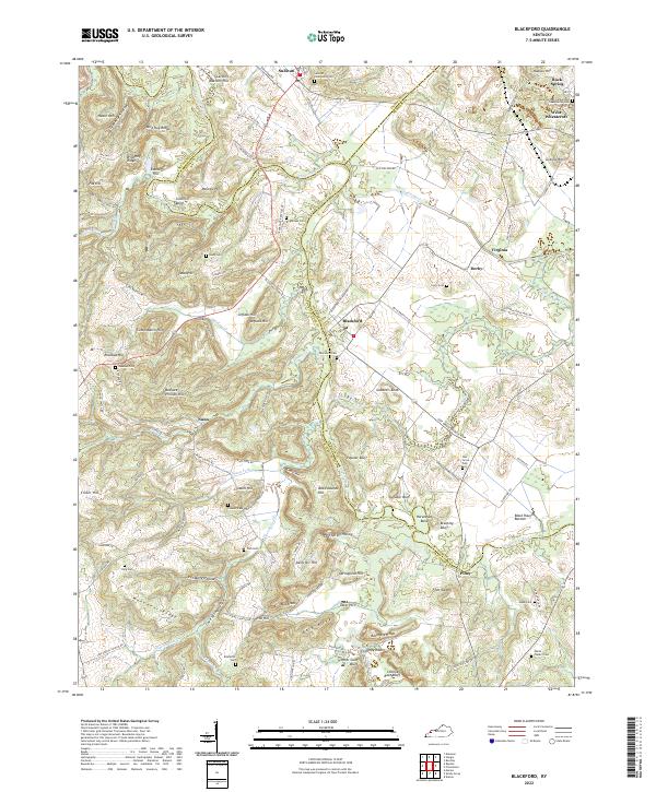
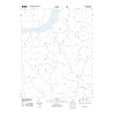
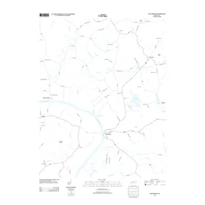
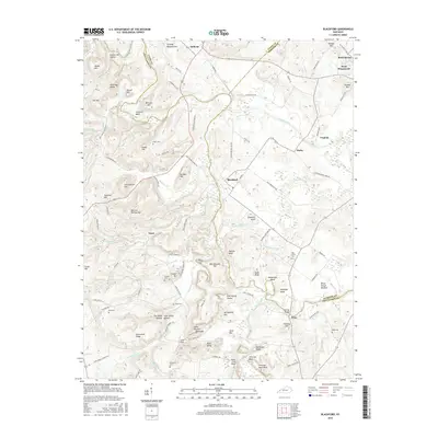
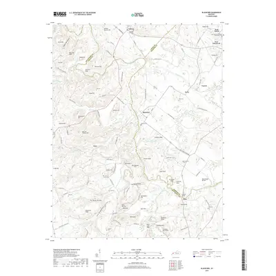
2022 Blackford
Crittenden County, KY
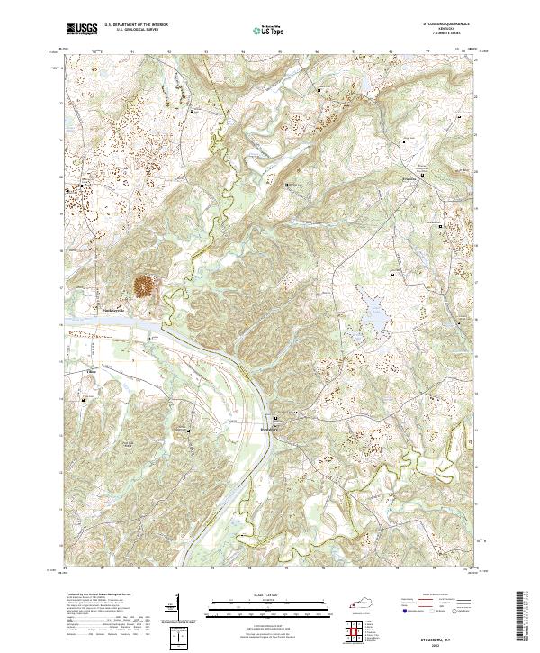
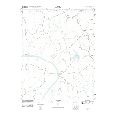
2022 Dycusburg
Crittenden County, KY
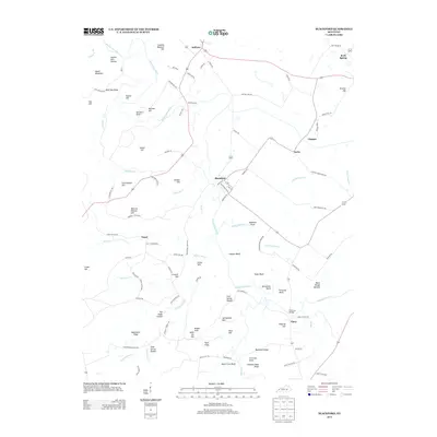
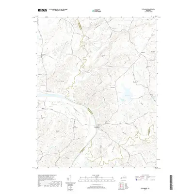
2022 Repton
Crittenden County, KY
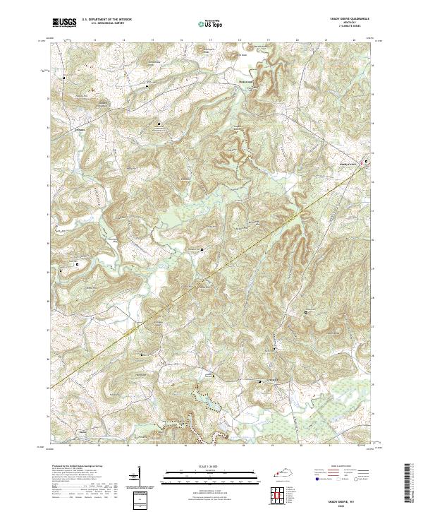
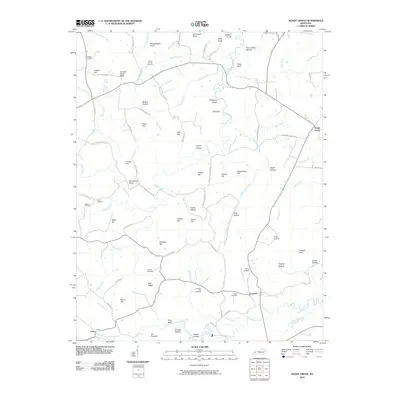
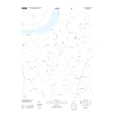
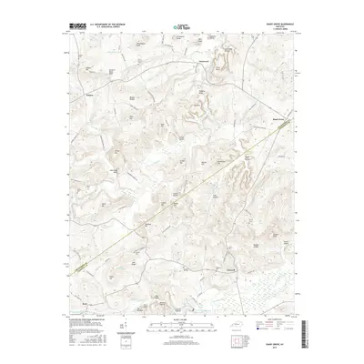
2022 Shady Grove
Crittenden County, KY