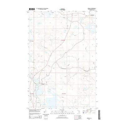
2014 Map of Republic
USGS Topo · Published 2014About this map
Republic and Humboldt anchor this Marquette County landscape, defined by a complex network of wetlands and reservoirs in Michigan’s Upper Peninsula. The southern portion of the map is dominated by the Michigamme Basin and The Basin, where the Michigamme River flows through a series of interconnected water bodies like Milwaukee Lake and White Horse Bay. This area illustrates a mid-century hydrologic pattern of managed water flow, with Greenwood Reservoir Rd cutting across the central terrain. Local history is grounded in the presence of the Republic Cem and Humboldt Cem, which serve as quiet markers of these mining-era settlements. Numerous small lakes and creeks, including Halfway Cr and Bruce Cr, thread through the timberland and low-lying marshes, reflecting the region's post-industrial transition toward recreation and conservation.
Find a feature on this map
70 named features on this map. Tap any name to fly to it.
Don’t see what you’re looking for? This feature index may not catch every label — zoom into the map to look around manually.
Map Details
Editions of this 2014 Republic Map
This is the sole edition of this map. No revisions or reprints were ever made.
Other maps of this area

1899 · Witbeck
USGS Topo · 1:62,500

1955 · Champion
USGS Topo · 1:24,000

1955 · Witch Lake
USGS Topo · 1:24,000

1955 · Diorite
USGS Topo · 1:24,000

1955 · Witch Lake NE
USGS Topo · 1:24,000

1955 · Greenwood
USGS Topo · 1:24,000

1955 · Republic
USGS Topo · 1:62,500

1955 · Republic
USGS Topo · 1:24,000

1955 · Witch Lake
USGS Topo · 1:62,500

1955 · Republic SW
USGS Topo · 1:24,000