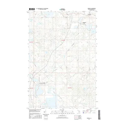
2017 Map of Republic
USGS Topo · Published 2017About this map
Republic and Humboldt anchor this map of Michigan's iron-rich highlands, where the legacy of extraction is visible through the massive Humboldt Mine footprint and the Iron Ore Heritage Trail. The township's history is preserved at the Republic Cem and Humboldt Cem, providing valuable touchstones for genealogists researching the families who settled this part of Marquette County.
Find a feature on this map
68 named features on this map. Tap any name to fly to it.
Don’t see what you’re looking for? This feature index may not catch every label — zoom into the map to look around manually.
Map Details
Editions of this 2017 Republic Map
This is the sole edition of this map. No revisions or reprints were ever made.
Other maps of this area

1899 · Witbeck
USGS Topo · 1:62,500

1955 · Champion
USGS Topo · 1:24,000

1955 · Witch Lake
USGS Topo · 1:24,000

1955 · Diorite
USGS Topo · 1:24,000

1955 · Witch Lake NE
USGS Topo · 1:24,000

1955 · Greenwood
USGS Topo · 1:24,000

1955 · Republic
USGS Topo · 1:62,500

1955 · Republic
USGS Topo · 1:24,000

1955 · Witch Lake
USGS Topo · 1:62,500

1955 · Republic SW
USGS Topo · 1:24,000