
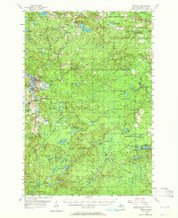
1955 Map of Republic
USGS Topo · Published 1957About this map
The iron mining industry dominates this mid-century landscape of Marquette County, centered on the operations of the Republic Mine and Humboldt Mine. These industrial hubs are connected by an intricate web of railroads, including the Chicago Milwaukee St Paul and Pacific and the Lake Superior and Ishpeming, which carried ore across the rugged Upper Peninsula terrain. Small company settlements like Greenwood and Humboldt sit alongside these rail lines, with the Humboldt Cem and the already noted Black River Sch (Abandoned) reflecting the lifecycle of these remote communities.
Find a feature on this map
102 named features on this map. Tap any name to fly to it.
Don’t see what you’re looking for? This feature index may not catch every label — zoom into the map to look around manually.
Map Details
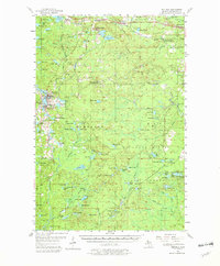
Editions of this 1955 Republic Map
3 editions found
Other maps of this area

1899 · Sagola
USGS Topo · 1:62,500

1899 · Witbeck
USGS Topo · 1:62,500

1952 · Ishpeming
USGS Topo · 1:62,500

1952 · Ishpeming
USGS Topo · 1:24,000

1954 · Negaunee SW
USGS Topo · 1:24,000

1954 · Negaunee
USGS Topo · 1:62,500

1955 · Champion
USGS Topo · 1:24,000

1955 · Witch Lake
USGS Topo · 1:24,000

1955 · Ralph NW
USGS Topo · 1:24,000

1955 · Ralph NE
USGS Topo · 1:24,000