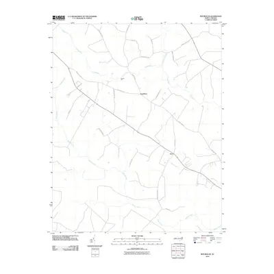
2010 Map of Republican
USGS Topo · Published 2010About this map
Cashie River and Roquist Creek dominate the drainage of this Bertie County landscape, where the rural settlements of Republican and Drew serve as central points for local navigation. The terrain is defined by its watercourses and swamps, including the Connartsa Swamp, which influence the layout of family-named thoroughfares such as Charles Taylor Rd and Charlie Harmon Rd. Historical industry is represented by Burdens Mill, located along a bend in the river, suggesting the local reliance on water power for milling operations into the modern era.
Find a feature on this map
22 named features on this map. Tap any name to fly to it.
Don’t see what you’re looking for? This feature index may not catch every label — zoom into the map to look around manually.
Map Details
Editions of this 2010 Republican Map
This is the sole edition of this map. No revisions or reprints were ever made.
Other maps of this area

1901 · Williamston
USGS Topo · 1:62,500

1902 · Williamston
USGS Topo · 1:62,500

1943 · Plymouth
USGS Topo · 1:125,000

1953 · Norfolk
USGS Topo · 1:250,000

1953 · Rocky Mount
USGS Topo · 1:250,000

1954 · Rocky Mount
USGS Topo · 1:250,000

1972 · Republican
USGS Topo · 1:24,000

1972 · Woodville
USGS Topo · 1:24,000

1972 · Aulander
USGS Topo · 1:24,000

1973 · Kelford
USGS Topo · 1:24,000