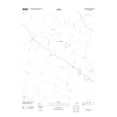
2013 Map of Republican
USGS Topo · Published 2013About this map
Republican and Drew are the primary focal points of this rural Bertie County landscape, situated where the Atlantic coastal plain is deeply carved by the Cashie River and several tributary systems. The terrain is defined by its extensive swamp networks, including Connartitsa Swamp and Whiteoak Swamp to the northeast, which historically limited road development to the higher ridges. The presence of Burdens Mill along the river and various family-named routes like Old King Farm Rd and Spruill Farm Rd reflects the long-standing agricultural and milling heritage of this region. Several small creeks, most notably Roquist Cr and Chiska Cr, meander through the southern half of the map, while infrastructure such as Parkers School Rd and School Rd points to the community-centered layout of these small North Carolina hamlets.
Find a feature on this map
45 named features on this map. Tap any name to fly to it.
Don’t see what you’re looking for? This feature index may not catch every label — zoom into the map to look around manually.
Map Details
Editions of this 2013 Republican Map
This is the sole edition of this map. No revisions or reprints were ever made.
Other maps of this area

1901 · Williamston
USGS Topo · 1:62,500

1902 · Williamston
USGS Topo · 1:62,500

1943 · Plymouth
USGS Topo · 1:125,000

1953 · Norfolk
USGS Topo · 1:250,000

1953 · Rocky Mount
USGS Topo · 1:250,000

1954 · Rocky Mount
USGS Topo · 1:250,000

1972 · Republican
USGS Topo · 1:24,000

1972 · Woodville
USGS Topo · 1:24,000

1972 · Aulander
USGS Topo · 1:24,000

1973 · Kelford
USGS Topo · 1:24,000