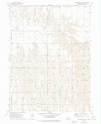
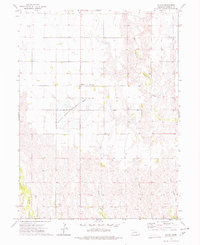
1973 Map of Republican City NE
USGS Topo · Published 1977About this map
Center Creek and its various tributaries define the agricultural layout of this Franklin County landscape during the early 1970s. The map reveals a rural community structured around sectional farming and local landmarks such as Pleasant View Ch and the Bailey Cem. Drainage patterns are clearly marked by the winding paths of Big Cottonwood Creek, Little Cottonwood Creek, and Turkey Creek, which bisect the terrain. Small-scale industrial activity is evident through multiple Gravel Pit sites, suggesting local resource extraction to support the area's road network. This USGS survey, based on 1973 aerial photography, captures the steady, traditional character of the Nebraska plains before modern intensive development altered the rural footprint.
Find a feature on this map
8 named features on this map. Tap any name to fly to it.
Don’t see what you’re looking for? This feature index may not catch every label — zoom into the map to look around manually.
Map Details
Editions of this 1973 Republican City NE Map
This is the sole edition of this map. No revisions or reprints were ever made.
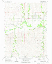
Other maps of this area

1896 · Holdrege
USGS Topo · 1:125,000

1897 · Red Cloud
USGS Topo · 1:125,000

1955 · Grand Island
USGS Topo · 1:250,000

1957 · Grand Island
USGS Topo · 1:250,000

1958 · Grand Island
USGS Topo · 1:250,000
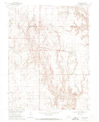
1969 · Upland
USGS Topo · 1:24,000
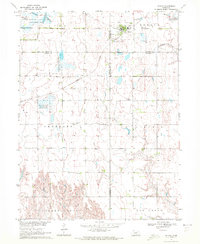
1970 · Wilcox
USGS Topo · 1:24,000
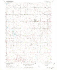
1970 · Hildreth
USGS Topo · 1:24,000
1973 · Macon
USGS Topo · 1:24,000
1973 · Bloomington
USGS Topo · 1:24,000