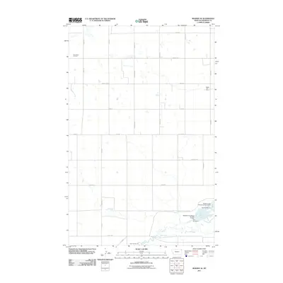
2011 Map of Reserve SE
USGS Topo · Published 2011About this map
Eden Valley Cemetery serves as a quiet landmark in this sparsely settled corner of Sheridan County, defined by a rectilinear grid of section roads and low-lying water bodies. The southern portion of the quadrangle is dominated by the intricate hydrology of the Medicine Lake National Wildlife Refuge area, where Lake Creek and Sand Creek converge near several water control structures including Dam Number 10 and Medicine Lake Refuge Number 11 Dam.
Find a feature on this map
33 named features on this map. Tap any name to fly to it.
Don’t see what you’re looking for? This feature index may not catch every label — zoom into the map to look around manually.
Map Details
Editions of this 2011 Reserve SE Map
This is the sole edition of this map. No revisions or reprints were ever made.
Other maps of this area

1946 · Dagmar
USGS Topo · 1:24,000

1947 · Capeneys Lake
USGS Topo · 1:24,000

1948 · Capeneys Lake
USGS Topo · 1:24,000

1948 · Dagmar
USGS Topo · 1:24,000

1948 · Reserve SE
USGS Topo · 1:24,000

1948 · Sunnyhill School
USGS Topo · 1:24,000

1948 · Medicine Lake
USGS Topo · 1:24,000

1948 · Reserve
USGS Topo · 1:24,000

1948 · Antelope
USGS Topo · 1:24,000

1949 · Reserve SE
USGS Topo · 1:24,000