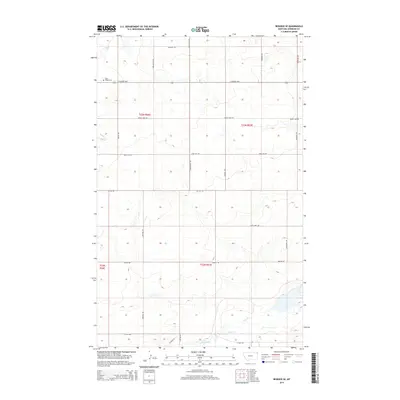
2014 Map of Reserve SE
USGS Topo · Published 2014About this map
Eden and its surrounding agricultural plains define this corner of Sheridan County in the early twenty-first century. The landscape is characterized by a high density of rural roads named for local families and landmarks, such as Rose Hill Rd, Eden Valley Rd, and Katy Lake Rd. These thoroughfares connect disparate farmsteads and manage the surveyed township and range lines across T33N and T32N. For those tracing family history in the region, the Valley Cem stands as a primary landmark near the northern edge of the quadrangle. Drainage is dominated by the winding path of Lake Creek and its tributary, Sand Cr, which cut through the terrain toward the southeast. The map also captures the path of Neiser Cr in the western reaches, illustrating the subtle water network that supports this prairie environment.
Find a feature on this map
28 named features on this map. Tap any name to fly to it.
Don’t see what you’re looking for? This feature index may not catch every label — zoom into the map to look around manually.
Map Details
Editions of this 2014 Reserve SE Map
This is the sole edition of this map. No revisions or reprints were ever made.
Other maps of this area

1946 · Dagmar
USGS Topo · 1:24,000

1947 · Capeneys Lake
USGS Topo · 1:24,000

1948 · Capeneys Lake
USGS Topo · 1:24,000

1948 · Dagmar
USGS Topo · 1:24,000

1948 · Reserve SE
USGS Topo · 1:24,000

1948 · Sunnyhill School
USGS Topo · 1:24,000

1948 · Medicine Lake
USGS Topo · 1:24,000

1948 · Reserve
USGS Topo · 1:24,000

1948 · Antelope
USGS Topo · 1:24,000

1949 · Reserve SE
USGS Topo · 1:24,000