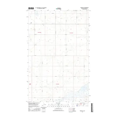
2017 Map of Reserve SE
USGS Topo · Published 2017About this map
The Eden Valley Cem sits near the northwestern corner of this Sheridan County landscape, marking the local heritage of this rural Montana township. The terrain is defined by its hydrography, notably the large expanse of Capeneys Lake to the south and the dual basins of Brush Lake further north. A network of section-line roads, including Eden Valley Rd and Rose Hill Rd, organizes the prairie, while small drainages like Neiser Cr, Sand Cr, and Lake Creek weave through the contours. This 2017 survey reflects a largely agricultural and conservation-focused region, where names like Katy Lake Rd and Skyline Rd indicate the importance of rural access to the scattered water bodies and homestead sites. The map clearly delineates the township and range boundaries for t33n r56e and its neighbors, providing a foundational grid for modern land use and historical research.
Find a feature on this map
27 named features on this map. Tap any name to fly to it.
Don’t see what you’re looking for? This feature index may not catch every label — zoom into the map to look around manually.
Map Details
Editions of this 2017 Reserve SE Map
This is the sole edition of this map. No revisions or reprints were ever made.
Other maps of this area

1946 · Dagmar
USGS Topo · 1:24,000

1947 · Capeneys Lake
USGS Topo · 1:24,000

1948 · Capeneys Lake
USGS Topo · 1:24,000

1948 · Dagmar
USGS Topo · 1:24,000

1948 · Reserve SE
USGS Topo · 1:24,000

1948 · Sunnyhill School
USGS Topo · 1:24,000

1948 · Medicine Lake
USGS Topo · 1:24,000

1948 · Reserve
USGS Topo · 1:24,000

1948 · Antelope
USGS Topo · 1:24,000

1949 · Reserve SE
USGS Topo · 1:24,000