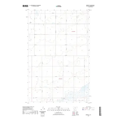
2020 Map of Reserve SE
USGS Topo · Published 2020About this map
Eden Valley Cem serves as a quiet landmark in the northwestern corner of this Sheridan County landscape, where the high plains transition into a complex of prairie potholes and small drainages. The area is defined by a grid of named rural roads, such as Rose Hill Rd and Skyline Rd, that connect isolated farmsteads across the townships of T33N R57E and T32N R57E. In the south, the topography descends toward Lake Creek and its associated wetlands, including Sand Cr and the waters of Lake Cr. Small settlements or community focal points like Lakeside and N Shore appear along E Lake Hwy, marking the recreational and residential activity clustered near the water. The presence of Brush Lake further emphasizes the importance of these rare surface water features in an otherwise arid grazing and wheat-growing region.
Find a feature on this map
25 named features on this map. Tap any name to fly to it.
Don’t see what you’re looking for? This feature index may not catch every label — zoom into the map to look around manually.
Map Details
Editions of this 2020 Reserve SE Map
This is the sole edition of this map. No revisions or reprints were ever made.
Other maps of this area

1946 · Dagmar
USGS Topo · 1:24,000

1947 · Capeneys Lake
USGS Topo · 1:24,000

1948 · Capeneys Lake
USGS Topo · 1:24,000

1948 · Dagmar
USGS Topo · 1:24,000

1948 · Reserve SE
USGS Topo · 1:24,000

1948 · Sunnyhill School
USGS Topo · 1:24,000

1948 · Medicine Lake
USGS Topo · 1:24,000

1948 · Reserve
USGS Topo · 1:24,000

1948 · Antelope
USGS Topo · 1:24,000

1949 · Reserve SE
USGS Topo · 1:24,000