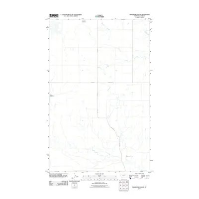
2011 Map of Reservoir Coulee
USGS Topo · Published 2011About this map
Reservoir Coulee defines the drainage of this open northern Montana landscape, where small-scale water management projects like Miss Doll Dial Dam and Badger Claws Dam suggest the region's reliance on seasonal runoff. The terrain is marked by the winding courses of Lodge Creek and Reser Creek, which cut through the high plains of Blaine County. A sparse network of gravel and local roads, including Lonesome Rd, Wallen Rd, and Lohman Rd, provides the primary infrastructure connecting ranching or agricultural sites. The map reveals a high-prairie environment where names like Reser Rd and Cassidy Rd likely reflect family holdings or early homesteaders in this sparsely populated area of the state.
Find a feature on this map
11 named features on this map. Tap any name to fly to it.
Don’t see what you’re looking for? This feature index may not catch every label — zoom into the map to look around manually.
Map Details
Editions of this 2011 Reservoir Coulee Map
This is the sole edition of this map. No revisions or reprints were ever made.
Other maps of this area

1904 · Yantic
USGS Topo · 1:62,500

1904 · Havre
USGS Topo · 1:62,500

1912 · Zurich
USGS Topo · 1:125,000

1912 · Thibedeau Lake
USGS Topo · 1:125,000

1953 · Havre
USGS Topo · 1:250,000

1957 · Havre
USGS Topo · 1:250,000

1958 · Havre
USGS Topo · 1:250,000

1964 · Telescope Coulee
USGS Topo · 1:24,000

1964 · Havre SE
USGS Topo · 1:24,000
1964 · Lohman SE
USGS Topo · 1:24,000