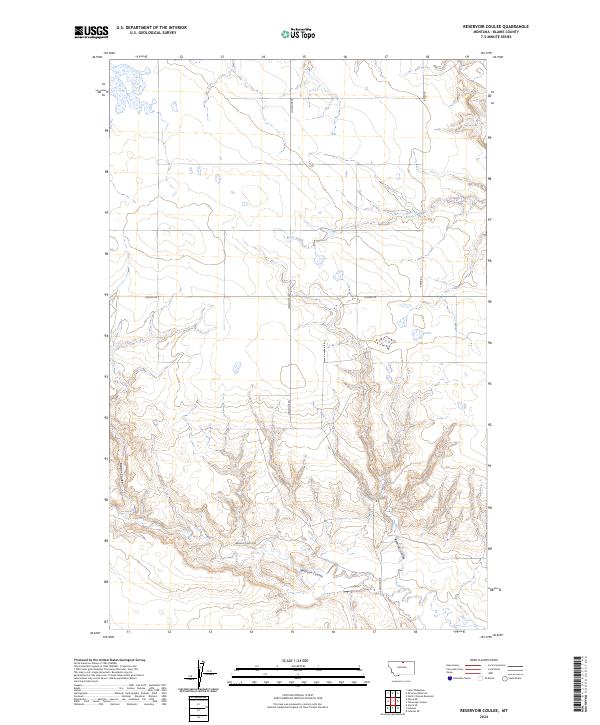
2024 Map of Reservoir Coulee
USGS Topo · Published 2024About this map
Reservoir Coulee and its surrounding drainage systems define the high plains of Blaine County, Montana, as documented in this 2024 survey. The landscape is characterized by intermittent watercourses like Reser Creek and Redrock Coulee, which cut through the terrain north of the Milk River valley. The grid of the Public Land Survey System remains the primary framework for navigation and property boundaries in this rural expanse, with townships such as t34n r18e and t35n r17e clearly delineated. Local travel relies on a network of unpaved corridors including Reser Rd, Lonesome Rd, and Cassidy Rd. This map reflects the enduring isolation of the northern Montana rangelands, where contemporary ranching infrastructure follows long-established topographic and legal boundaries in one of the state's most sparsely settled regions.
Find a feature on this map
15 named features on this map. Tap any name to fly to it.
Don’t see what you’re looking for? This feature index may not catch every label — zoom into the map to look around manually.
Map Details
Editions of this 2024 Reservoir Coulee Map
This is the sole edition of this map. No revisions or reprints were ever made.
Other maps of this area

1904 · Yantic
USGS Topo · 1:62,500

1904 · Havre
USGS Topo · 1:62,500

1912 · Zurich
USGS Topo · 1:125,000

1912 · Thibedeau Lake
USGS Topo · 1:125,000

1953 · Havre
USGS Topo · 1:250,000

1957 · Havre
USGS Topo · 1:250,000

1958 · Havre
USGS Topo · 1:250,000

1964 · Telescope Coulee
USGS Topo · 1:24,000

1964 · Havre SE
USGS Topo · 1:24,000
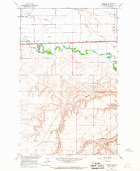
1964 · Lohman SE
USGS Topo · 1:24,000