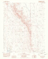
1983 Map of Resting Spring
USGS Topo · Published 1983About this map
Tecopa Hot Springs serves as the primary point of settlement in this arid landscape, situated near the seasonal flow of the Amargosa River. The map reveals a reliance on thermal and groundwater sources, specifically marking Hot Springs and the established Trailer Park that anchors the local community. Dominating the topography is the massive Resting Spring Range, which divides the terrain and overlooks the broad expanse of the Chicago Valley to the east.
Find a feature on this map
11 named features on this map. Tap any name to fly to it.
Don’t see what you’re looking for? This feature index may not catch every label — zoom into the map to look around manually.
Map Details
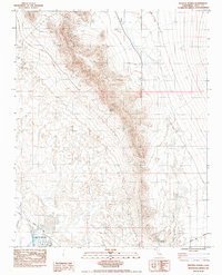
Editions of this 1983 Resting Spring Map
2 editions found
Other maps of this area

1908 · Furnace Creek
USGS Topo · 1:250,000

1910 · Furnace Creek
USGS Topo · 1:250,000

1933 · Avawatz Mountains
USGS Topo · 1:250,000

1940 · Eagle Tank
USGS Topo · 1:62,500

1947 · Trona
USGS Topo · 1:250,000

1948 · Trona
USGS Topo · 1:250,000

1948 · Death Valley
USGS Topo · 1:250,000

1950 · Tecopa
USGS Topo · 1:62,500

1951 · Tecopa
USGS Topo · 1:62,500

1951 · Eagle Mtn
USGS Topo · 1:62,500