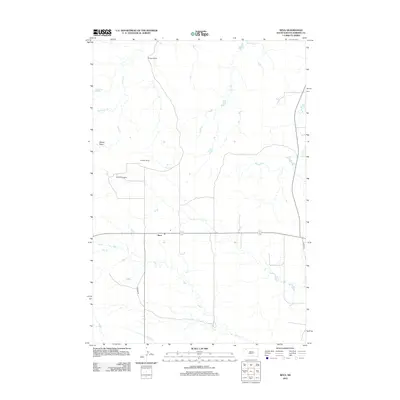
2012 Map of Reva
USGS Topo · Published 2012About this map
Reva serves as a central point in this high plains landscape, situated at the junction of modern roadways and natural drainages. The area is defined by its ranching heritage, with large landholdings such as the M Thybo Ranch, E Besler Ranch, and G Lermeny Ranch scattered across the territory. This map documents a region where water sources are vital, highlighted by features like McPherson Spring and Bar H Spring, which support the livestock operations in this corner of Harding County. The drainage network is complex, with Gap Cr and Bar H Cr winding through the terrain. Evidence of seasonal water movement is found in Winter Draw, while Hoover Rd and Co Hwy 735 provide the primary transit corridors through the expansive open country.
Find a feature on this map
14 named features on this map. Tap any name to fly to it.
Don’t see what you’re looking for? This feature index may not catch every label — zoom into the map to look around manually.
Map Details
Editions of this 2012 Reva Map
This is the sole edition of this map. No revisions or reprints were ever made.
Other maps of this area

1935 · Reva
USGS Topo · 1:125,000

1935 · Hoover
USGS Topo · 1:125,000

1954 · Lemmon
USGS Topo · 1:250,000

1957 · Lemmon
USGS Topo · 1:250,000

1968 · J B Hill
USGS Topo · 1:24,000

1968 · Reva
USGS Topo · 1:24,000

1968 · Flat Top Butte
USGS Topo · 1:24,000

1969 · Battleship Rock
USGS Topo · 1:24,000

1969 · Reva NW
USGS Topo · 1:24,000

1969 · Reva NE
USGS Topo · 1:24,000