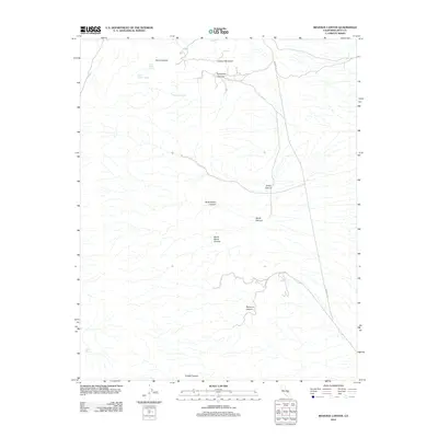
2012 Map of Revenue Canyon
USGS Topo · Published 2012About this map
Revenue Canyon and its network of ephemeral drainages dominate this desert landscape in Inyo County during the early 21st century. The map reveals a reliance on vital water sources scattered across the arid terrain, including Jack Gunn Spring, French Madam Spring, and Thompson Spring. These points of hydrography were historically essential for travel and subsistence in the high desert, often dictated by the rugged elevation changes near Lookout Mountain.
Find a feature on this map
14 named features on this map. Tap any name to fly to it.
Don’t see what you’re looking for? This feature index may not catch every label — zoom into the map to look around manually.
Map Details
Editions of this 2012 Revenue Canyon Map
This is the sole edition of this map. No revisions or reprints were ever made.
Other maps of this area

1908 · Ballarat
USGS Topo · 1:250,000

1913 · Ballarat
USGS Topo · 1:250,000

1948 · Death Valley
USGS Topo · 1:250,000

1950 · Darwin
USGS Topo · 1:62,500

1951 · Darwin
USGS Topo · 1:62,500

1951 · Panamint Butte
USGS Topo · 1:62,500

1951 · Maturango Peak
USGS Topo · 1:62,500

1951 · Coso Peak
USGS Topo · 1:62,500

1954 · Death Valley
USGS Topo · 1:250,000

1956 · Death Valley
USGS Topo · 1:250,000