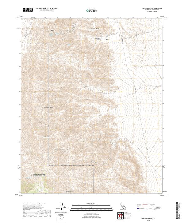
2021 Map of Revenue Canyon
USGS Topo · Published 2021About this map
Argus Range peaks and the high northern reaches of the Mojave Desert dominate this landscape on the edge of the Panamint Valley. The map details a complex system of drainage and relief, where named corridors like Stone Canyon, Snow Canyon, and Revenue Canyon carve through the arid terrain. Water sources are scarce but critical, marked by isolated points such as French Madam Spring, Jack Gunn Spring, and Thompson Spring. High points like Lookout Mtn and Ash Hill provide vantage points over a territory defined by its extreme verticality and remote desert character. The few established routes, including Thompson Canyon Rd and Nadeau Rd, follow the natural contours of the land, connecting these remote canyons and springs within the vast public land survey system.
Find a feature on this map
27 named features on this map. Tap any name to fly to it.
Don’t see what you’re looking for? This feature index may not catch every label — zoom into the map to look around manually.
Map Details
Editions of this 2021 Revenue Canyon Map
This is the sole edition of this map. No revisions or reprints were ever made.
Other maps of this area

1908 · Ballarat
USGS Topo · 1:250,000

1913 · Ballarat
USGS Topo · 1:250,000

1948 · Death Valley
USGS Topo · 1:250,000

1950 · Darwin
USGS Topo · 1:62,500

1951 · Darwin
USGS Topo · 1:62,500

1951 · Panamint Butte
USGS Topo · 1:62,500

1951 · Maturango Peak
USGS Topo · 1:62,500

1951 · Coso Peak
USGS Topo · 1:62,500

1954 · Death Valley
USGS Topo · 1:250,000

1956 · Death Valley
USGS Topo · 1:250,000