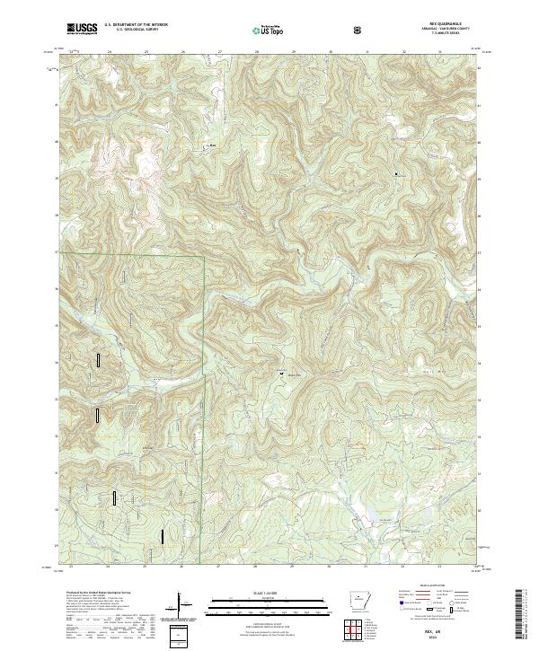
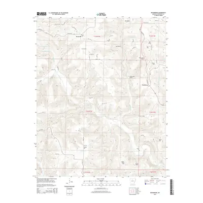
2024 Map of Rex
USGS Topo · Published 2024About this map
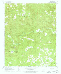
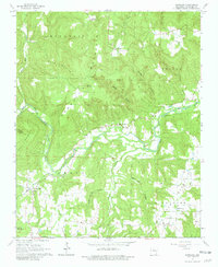
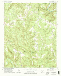
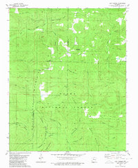
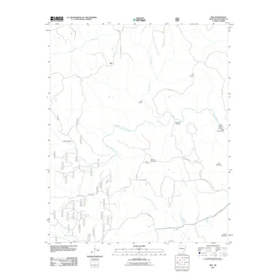
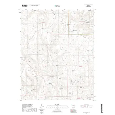
The South Fork Little Red River and West Fork Point Remove Creek divide this portion of Van Buren County, marking a landscape where high ridges and deep hollows define the pattern of settlement. Within the southern reaches of the Ozark National Forest, the small community of Low Gap is situated near the Wilderness Trl, serving as a focal point for local geography alongside the Low Gap Cem. The terrain is punctuated by significant heights such as Black Mtn and Gulf Mtn, while numerous named hollows like Pigeon Roost Hollow and Sis Hollow suggest a long history of local land use and naming traditions. In the north, the settlement of Rex sits at a crossroads of county routes including Co Rd 77, illustrating the rural transportation network that connects these isolated valleys and family cemeteries like Burke Cem.
Find a feature on this map
53 named features on this map. Tap any name to fly to it.
Don’t see what you’re looking for? This feature index may not catch every label — zoom into the map to look around manually.
Map Details
Editions of this 2024 Rex Map
This is the sole edition of this map. No revisions or reprints were ever made.
Historical Maps of Rex Through Time
46 maps found
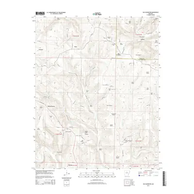
1961 Morganton
Van Buren County, AR
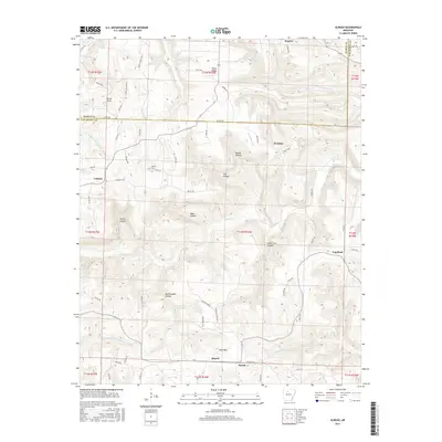
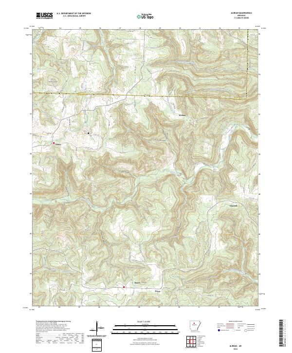
1965 Alread
Van Buren County, AR
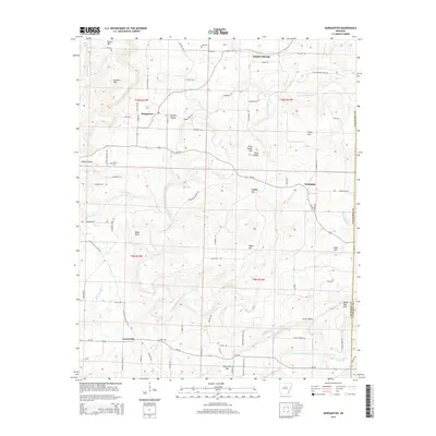
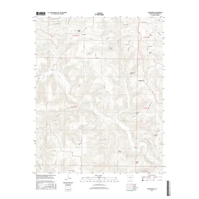
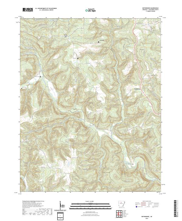
1965 Botkinburg
Van Buren County, AR
1965 Rex
Van Buren County, AR
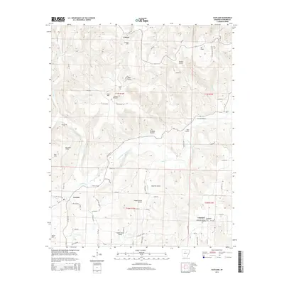
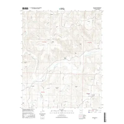
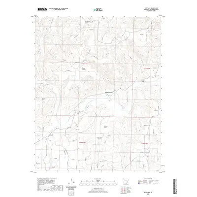
1965 Scotland
Van Buren County, AR
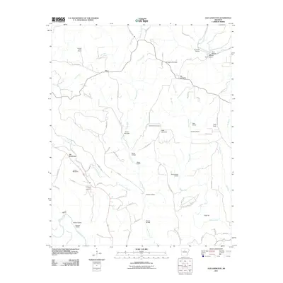
1973 Old Lexington
Van Buren County, AR

1974 Smyrna SE
Van Buren County, AR

1976 Botkinburg
Van Buren County, AR

1976 Old Lexington
Van Buren County, AR
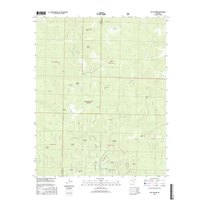
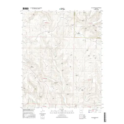
1980 Lost Corner
Van Buren County, AR

1989 Morganton
Van Buren County, AR
2011 Alread
Van Buren County, AR
2011 Botkinburg
Van Buren County, AR
2011 Lost Corner
Van Buren County, AR
2011 Morganton
Van Buren County, AR
2011 Old Lexington
Van Buren County, AR
2011 Rex
Van Buren County, AR
2011 Scotland
Van Buren County, AR
2014 Alread
Van Buren County, AR
2014 Botkinburg
Van Buren County, AR
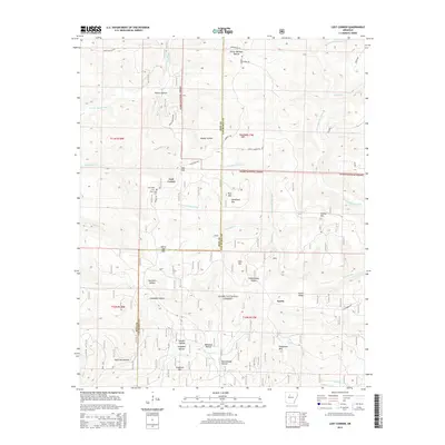
2014 Lost Corner
Van Buren County, AR
2014 Morganton
Van Buren County, AR
2014 Old Lexington
Van Buren County, AR

2014 Rex
Van Buren County, AR
2014 Scotland
Van Buren County, AR
2017 Alread
Van Buren County, AR
2017 Botkinburg
Van Buren County, AR
2017 Lost Corner
Van Buren County, AR
2017 Morganton
Van Buren County, AR
2017 Old Lexington
Van Buren County, AR
2017 Rex
Van Buren County, AR
2017 Scotland
Van Buren County, AR
2020 Alread
Van Buren County, AR
2020 Botkinburg
Van Buren County, AR
2020 Lost Corner
Van Buren County, AR
2020 Morganton
Van Buren County, AR
2020 Old Lexington
Van Buren County, AR

2020 Rex
Van Buren County, AR
2020 Scotland
Van Buren County, AR
2024 Alread
Van Buren County, AR
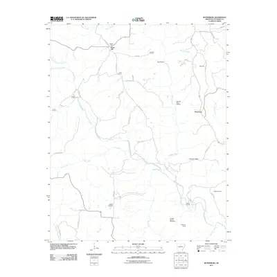
2024 Botkinburg
Van Buren County, AR
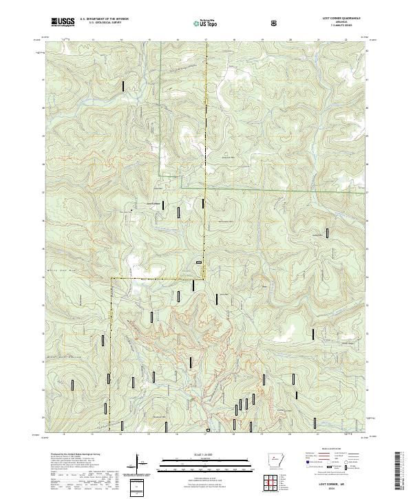
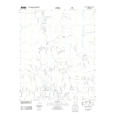
2024 Lost Corner
Van Buren County, AR
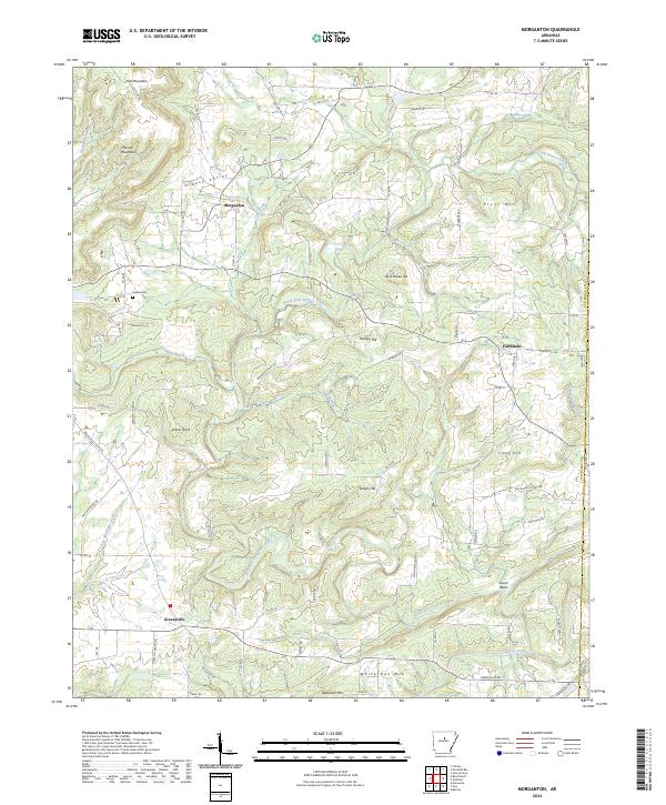
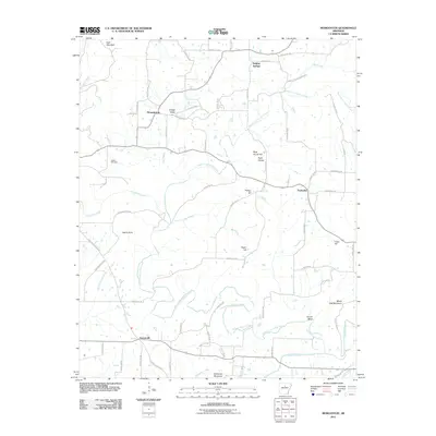
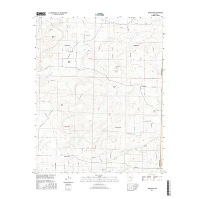
2024 Morganton
Van Buren County, AR
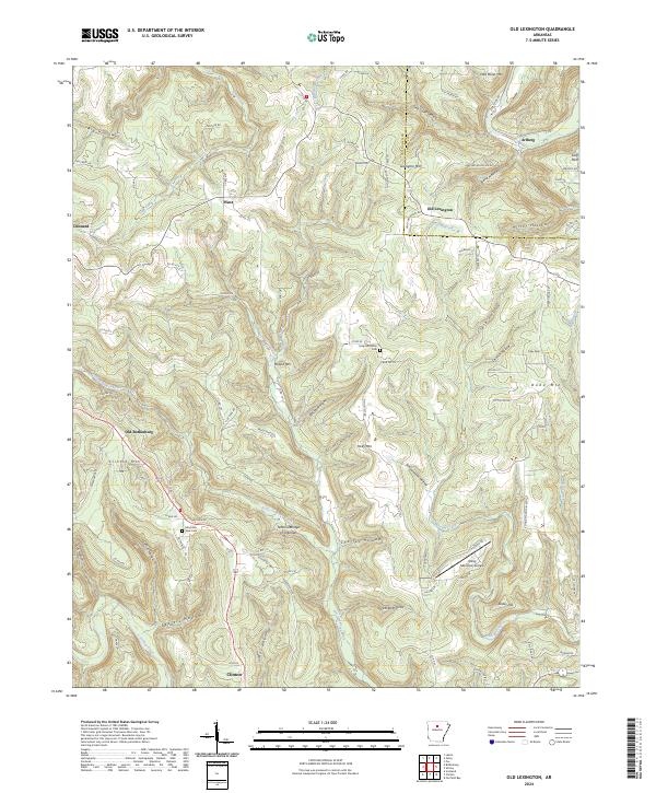
2024 Old Lexington
Van Buren County, AR
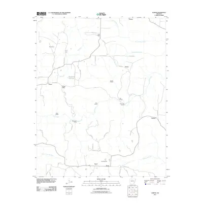
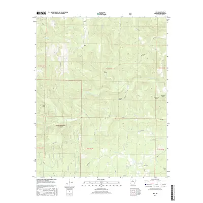
2024 Rex
Van Buren County, AR
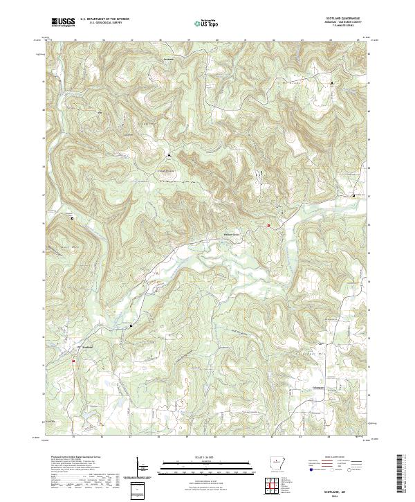
2024 Scotland
Van Buren County, AR