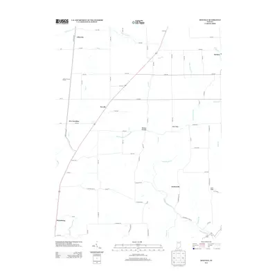
2013 Map of Rexville
USGS Topo · Published 2013About this map
Jefferson Proving Ground dominates the western edge of this landscape, its boundary marking a transition from rural farmland to a specialized military installation. The surrounding countryside is defined by the branching tributaries of Indian Kentuck Cr and Big Cr, which carve through the terrain to create distinctive elevations like Bates Ridge and Hicks Ridge. Small, localized settlements such as Rexville, Barbersville, and Haney Corner anchor a dense grid of country roads, reflecting the established agricultural patterns of southeastern Indiana. The presence of the Old Michigan Rd provides a historical link to early frontier transit, while the convergence of smaller watercourses like Vestal Br and Little Graham Cr underscores the creek-bottom geography that dictated early farmstead placement and community development in the region.
Find a feature on this map
70 named features on this map. Tap any name to fly to it.
Don’t see what you’re looking for? This feature index may not catch every label — zoom into the map to look around manually.
Map Details
Editions of this 2013 Rexville Map
This is the sole edition of this map. No revisions or reprints were ever made.
Other maps of this area

1946 · Versailles
USGS Topo · 1:24,000

1946 · Milan
USGS Topo · 1:24,000

1953 · Cincinnati
USGS Topo · 1:250,000

1956 · Clifty Falls
USGS Topo · 1:24,000

1956 · Bennington
USGS Topo · 1:24,000

1956 · Canaan
USGS Topo · 1:24,000

1956 · Louisville
USGS Topo · 1:250,000

1957 · Cincinnati
USGS Topo · 1:250,000

1959 · Holton
USGS Topo · 1:24,000

1959 · San Jacinto
USGS Topo · 1:24,000