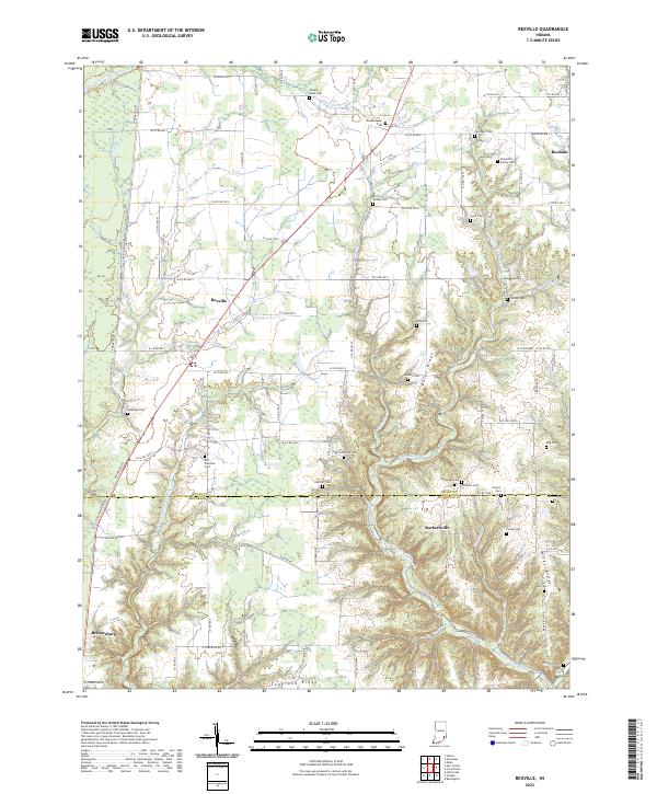
2022 Map of Rexville
USGS Topo · Published 2022About this map
The community of Rexville sits near the crossing of several county roads, serving as a focal point for the agricultural lands of southern Ripley County. This landscape is defined by the transition from upland plateaus to the deeply carved drainage basins of Little Graham Creek and Big Creek. To the south, the terrain becomes increasingly complex as the headwaters of Indian Kentuck Creek cut into the hills, forming distinctive landforms such as Bates Ridge and Hicks Ridge.
Find a feature on this map
88 named features on this map. Tap any name to fly to it.
Don’t see what you’re looking for? This feature index may not catch every label — zoom into the map to look around manually.
Map Details
Editions of this 2022 Rexville Map
This is the sole edition of this map. No revisions or reprints were ever made.
Other maps of this area

1946 · Versailles
USGS Topo · 1:24,000

1946 · Milan
USGS Topo · 1:24,000

1953 · Cincinnati
USGS Topo · 1:250,000

1956 · Clifty Falls
USGS Topo · 1:24,000

1956 · Bennington
USGS Topo · 1:24,000

1956 · Canaan
USGS Topo · 1:24,000

1956 · Louisville
USGS Topo · 1:250,000

1957 · Cincinnati
USGS Topo · 1:250,000

1959 · Holton
USGS Topo · 1:24,000

1959 · San Jacinto
USGS Topo · 1:24,000