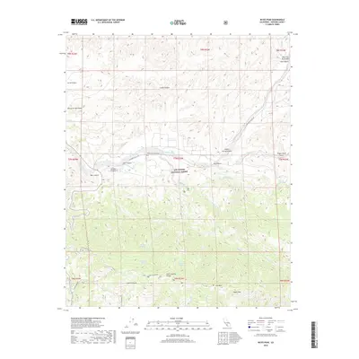
2018 Map of Reyes Peak
USGS Topo · Published 2018About this map
The Los Padres National Forest dominates this 2018 quadrangle, showcasing a landscape defined by dramatic elevation changes and a network of seasonal drainages. The southern portion of the map is anchored by the high ridgeline of Pine Mtn and its namesake Reyes Peak, where numerous creeks like Munson Cr and Reyes Cr originate. This high-country terrain transitions northward into deep incisions such as Chorro Grande Canyon and Godwin Canyon, eventually meeting the valley floor where the Cuyama River flows along the base of the northern mountains.
Find a feature on this map
38 named features on this map. Tap any name to fly to it.
Don’t see what you’re looking for? This feature index may not catch every label — zoom into the map to look around manually.
Map Details
Editions of this 2018 Reyes Peak Map
This is the sole edition of this map. No revisions or reprints were ever made.
Other maps of this area

1903 · Mt. Pinos
USGS Topo · 1:125,000

1942 · Wheeler Springs
USGS Topo · 1:24,000

1943 · Rancho Nuevo Creek
USGS Topo · 1:24,000

1943 · Old Man Mountain
USGS Topo · 1:24,000

1943 · Apache Canyon
USGS Topo · 1:24,000

1943 · San Guillermo
USGS Topo · 1:24,000

1943 · Sawmill Mountain
USGS Topo · 1:24,000

1943 · Cuyama Peak
USGS Topo · 1:24,000

1943 · Lion Canyon
USGS Topo · 1:24,000

1943 · Reyes Peak
USGS Topo · 1:24,000