
1943 Map of Cuyama Peak
USGS Topo · Published 1959About this map
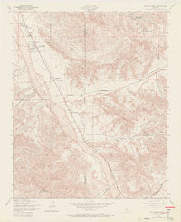
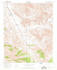
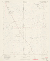
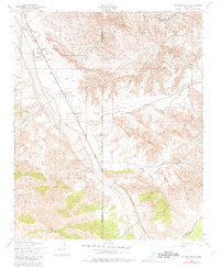
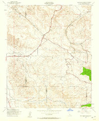
Cuyama Valley serves as the focal point of this 1943 survey, where the dry bed of the Cuyama River snakes past a series of established ranchsteads. The settlement of Ventucopa sits at the junction of the valley floor and the rising slopes of the Los Padres National Forest, marking a vital outpost in this high-desert landscape. The transition from the flat agricultural potential of the valley to the steep, dissected terrain of the mountains is sharp, highlighted by numerous canyons like Quatal Canyon and Apache Canyon.
Find a feature on this map
24 named features on this map. Tap any name to fly to it.
Don’t see what you’re looking for? This feature index may not catch every label — zoom into the map to look around manually.
Map Details
Editions of this 1943 Cuyama Peak Map
5 editions found
Other maps of this area

1902 · Santa Ynez
USGS Topo · 1:125,000

1903 · Mt. Pinos
USGS Topo · 1:125,000

1905 · Santa Ynez
USGS Topo · 1:125,000

1942 · Ballinger Canyon
USGS Topo · 1:24,000

1942 · East of Cuyama Ranch
USGS Topo · 1:24,000

1943 · Rancho Nuevo Creek
USGS Topo · 1:24,000

1943 · Apache Canyon
USGS Topo · 1:24,000

1943 · Santiago Creek
USGS Topo · 1:24,000
1943 · Ballinger Canyon
USGS Topo · 1:24,000

1943 · Reyes Peak
USGS Topo · 1:24,000