
1965 Map of Reynolds Bend NW
USGS Topo · Published 1970About this map
North Paint Creek and Bow Creek define the drainage patterns of this mid-1960s landscape, which spans the boundary of Haskell and Throckmorton Counties. The map reveals an economy driven by resource extraction, with numerous Oil Wells and a single Oil Well scattered across the northern and central sections. To the west, a Gravel Pit is located near the creek bed, indicating local material production. The terrain is marked by distinct elevation changes, showing the transition from higher plains down into the stream valleys where vegetation is most concentrated.
Find a feature on this map
6 named features on this map. Tap any name to fly to it.
Don’t see what you’re looking for? This feature index may not catch every label — zoom into the map to look around manually.
Map Details
Editions of this 1965 Reynolds Bend NW Map
This is the sole edition of this map. No revisions or reprints were ever made.
Other maps of this area

1954 · Wichita Falls
USGS Topo · 1:250,000

1958 · Wichita Falls
USGS Topo · 1:250,000

1962 · Antelope Creek SW
USGS Topo · 1:24,000

1962 · Antelope Creek SE
USGS Topo · 1:24,000
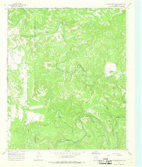
1966 · Hoover Mountain
USGS Topo · 1:24,000
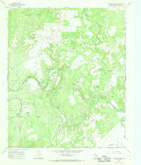
1966 · Reynolds Bend
USGS Topo · 1:24,000

1966 · Tonk Creek
USGS Topo · 1:24,000
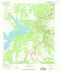
1966 · Lake Stamford East
USGS Topo · 1:24,000
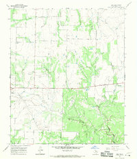
1966 · Irby
USGS Topo · 1:24,000

1967 · Mattson
USGS Topo · 1:24,000