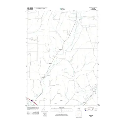
2010 Map of Rheims
USGS Topo · Published 2010About this map
Wheeler and Mitchellsville anchor this rural landscape in Steuben County, where the topography is defined by the steady descent of Fivemile Creek and Mitchellsville Creek toward the south. The settlement pattern follows a network of ridge and hollow roads, such as Mutton Hollow Rd and Shader Hill Rd, reflecting a long history of upland farming and timbering. Small hamlets like Dineharts, Renchans, and Stickneys are scattered throughout the northern reaches, while the southeast corner transitions into the wine country gateway of Rheims and Pleasant Valley. These lower elevations near Keuka Inlet highlight a shift from the wooded hills of Hickory Hill to more specialized land use, including the Hillview Blueberry Farm and Markhams Tree Farm.
Find a feature on this map
76 named features on this map. Tap any name to fly to it.
Don’t see what you’re looking for? This feature index may not catch every label — zoom into the map to look around manually.
Map Details
Editions of this 2010 Rheims Map
This is the sole edition of this map. No revisions or reprints were ever made.
Other maps of this area

1900 · Naples
USGS Topo · 1:62,500

1903 · Naples
USGS Topo · 1:62,500

1903 · Penn Yan
USGS Topo · 1:62,500

1903 · Hammondsport
USGS Topo · 1:62,500

1910 · Bath
USGS Topo · 1:62,500

1913 · Naples
USGS Topo · 1:62,500

1942 · Naples
USGS Topo · 1:31,680

1942 · Prattsburg
USGS Topo · 1:31,680

1942 · Pulteney
USGS Topo · 1:31,680

1950 · Elmira
USGS Topo · 1:250,000