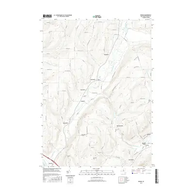
2016 Map of Rheims
USGS Topo · Published 2016About this map
Fivemile Creek and the Cohocton River define the drainage of this Finger Lakes region, where the landscape is marked by deep hollows and prominent rises like Hickory Hill and Kershener Hill. The map documents a late-twentieth-century pattern of small settlements and family-named hamlets, including Wheeler, Mitchellsville, and Stickneys. This area of Steuben County maintains a high density of burial grounds which are critical for genealogical research, such as the Wheeler Family Cem, Pleasant Valley Cem, and the Free Baptist Cem. Moving toward the southeast corner, the terrain descends into the Pleasant Valley near Rheims, where the Keuka Inlet and Cold Brook begin to suggest the proximity of Keuka Lake. The concentration of place names like Dineharts, Renchans, and Marshalls reflects the enduring local identities of this rural agricultural and vineyard-adjacent district.
Find a feature on this map
96 named features on this map. Tap any name to fly to it.
Don’t see what you’re looking for? This feature index may not catch every label — zoom into the map to look around manually.
Map Details
Editions of this 2016 Rheims Map
This is the sole edition of this map. No revisions or reprints were ever made.
Other maps of this area

1900 · Naples
USGS Topo · 1:62,500

1903 · Naples
USGS Topo · 1:62,500

1903 · Penn Yan
USGS Topo · 1:62,500

1903 · Hammondsport
USGS Topo · 1:62,500

1910 · Bath
USGS Topo · 1:62,500

1913 · Naples
USGS Topo · 1:62,500

1942 · Naples
USGS Topo · 1:31,680

1942 · Prattsburg
USGS Topo · 1:31,680

1942 · Pulteney
USGS Topo · 1:31,680

1950 · Elmira
USGS Topo · 1:250,000