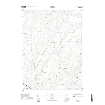
2019 Map of Rheims
USGS Topo · Published 2019About this map
Wheeler and Mitchellsville anchor this central Steuben County landscape, where the terrain is defined by deep north-south drainages like Fivemile Creek and Mitchellsville Cr. The map shows a region of distributed rural hamlets and family-named landmarks, such as Dineharts and Renchans, connected by a network of upland roads that follow the ridges. For genealogists, the map provides precise locations for several burial grounds, including the Wheeler Family Cem and the Free Baptist Cem near the eastern boundary. In the south, the settlement pattern shifts as the landscape descends toward the Cohocton River at Kanona and the Keuka Inlet near Hermitage. These watercourses were historically significant for the regional economy, leading toward the Finger Lakes and providing the necessary water for the valley's agriculture and early industry.
Find a feature on this map
85 named features on this map. Tap any name to fly to it.
Don’t see what you’re looking for? This feature index may not catch every label — zoom into the map to look around manually.
Map Details
Editions of this 2019 Rheims Map
This is the sole edition of this map. No revisions or reprints were ever made.
Other maps of this area

1900 · Naples
USGS Topo · 1:62,500

1903 · Naples
USGS Topo · 1:62,500

1903 · Penn Yan
USGS Topo · 1:62,500

1903 · Hammondsport
USGS Topo · 1:62,500

1910 · Bath
USGS Topo · 1:62,500

1913 · Naples
USGS Topo · 1:62,500

1942 · Naples
USGS Topo · 1:31,680

1942 · Prattsburg
USGS Topo · 1:31,680

1942 · Pulteney
USGS Topo · 1:31,680

1950 · Elmira
USGS Topo · 1:250,000