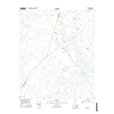
2017 Map of Rhems
USGS Topo · Published 2017About this map
The Black River and Black River Swamp dominate the southern landscape of this coastal plain region, where the Browns Ferry Bridge provides a critical crossing for travelers. The map reveals a low-country geography defined by a dense network of water bodies, including Black Mingo Creek, Smith Swamp, and Burnett Swamp. The jurisdictional boundary of Williamsburg and Georgetown counties bisects the area, with the community of Rhems serving as a central point for local commerce and transit.
Find a feature on this map
97 named features on this map. Tap any name to fly to it.
Don’t see what you’re looking for? This feature index may not catch every label — zoom into the map to look around manually.
Map Details
Editions of this 2017 Rhems Map
This is the sole edition of this map. No revisions or reprints were ever made.
Other maps of this area

1943 · Olin
USGS Topo · 1:31,680

1943 · Henry
USGS Topo · 1:24,000

1943 · Carvers Bay
USGS Topo · 1:24,000

1943 · Rhems
USGS Topo · 1:24,000

1943 · Andrews
USGS Topo · 1:24,000

1943 · Georgetown North
USGS Topo · 1:24,000

1943 · Outland
USGS Topo · 1:24,000

1944 · Outland
USGS Topo · 1:31,680

1946 · Indiantown
USGS Topo · 1:62,500

1949 · Georgetown
USGS Topo · 1:250,000