2024 Map of Rhems
USGS Topo · Published 2024About this map
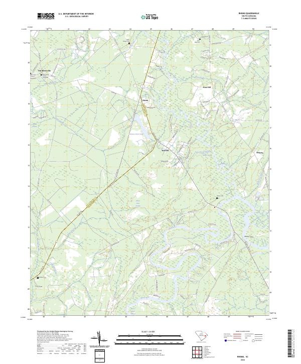
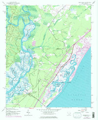
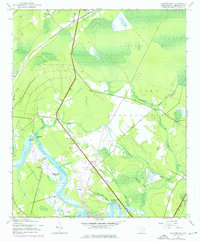
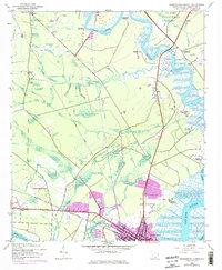
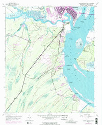
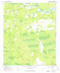
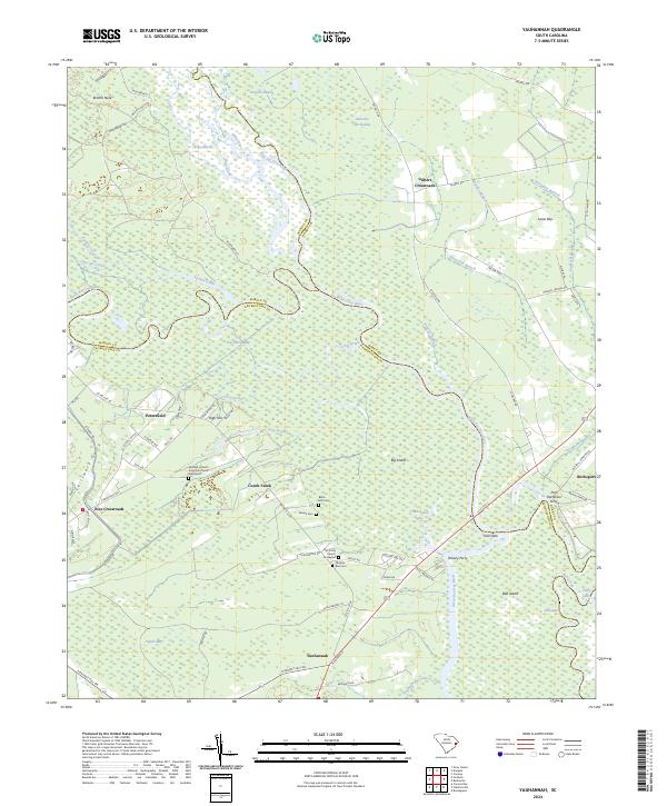
Black River and its intricate drainage network define this coastal South Carolina landscape, where the Williamsburg Co Georgetown Co line bisects the territory. The map details a region characterized by extensive lowlands, including the significant Black Mingo Creek and the southern reaches of Burnett Swamp. Small rural communities like Rhems, Rose Hill, and Red Hill are linked by a web of county roads that navigate around the winding watercourses. For local historians, the sheet preserves the locations of several community landmarks, including Saint-Johns Church Graveyard near Old Morrisville and the Wilson Cem near Choppee. The presence of Browns Ferry on the river indicates a historical crossing point that long served as a vital transportation link in this swampy terrain, anchoring the local economy to the water before modern bridges dominated the landscape.
Find a feature on this map
102 named features on this map. Tap any name to fly to it.
Don’t see what you’re looking for? This feature index may not catch every label — zoom into the map to look around manually.
Map Details
Editions of this 2024 Rhems Map
This is the sole edition of this map. No revisions or reprints were ever made.
Historical Maps of Dorseytown Through Time
36 maps found

1942 Cedar Creek
Georgetown County, SC
1942 Magnolia Beach
Georgetown County, SC

1942 North Island
Georgetown County, SC
1942 Santee Point
Georgetown County, SC
1942 Waverly Mills
Georgetown County, SC
1943 Brookgreen
Georgetown County, SC
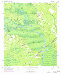
1943 Carvers Bay
Georgetown County, SC
1943 Georgetown North
Georgetown County, SC
1943 Georgetown South
Georgetown County, SC
1943 Kilsock Bay
Georgetown County, SC
1943 Minim Island
Georgetown County, SC
1943 Olin
Georgetown County, SC

1943 Outland
Georgetown County, SC
1943 Plantersville
Georgetown County, SC
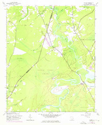
1943 Rhems
Georgetown County, SC
1943 Yauhannah
Georgetown County, SC

1944 Outland
Georgetown County, SC

1947 Georgetown South
Georgetown County, SC

1968 Georgetown South
Georgetown County, SC

2024 Brookgreen
Georgetown County, SC
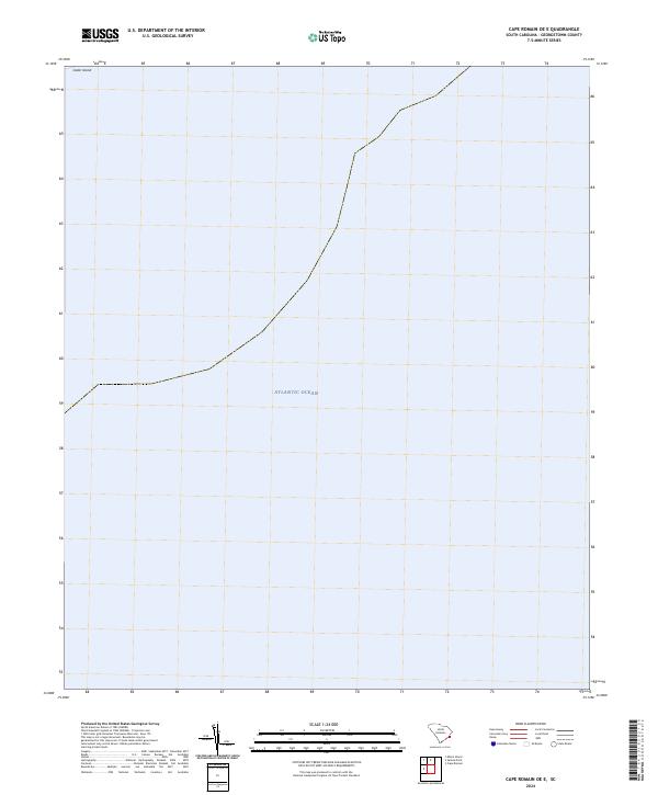
2024 Cape Romain OE E
Georgetown County, SC
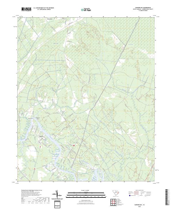
2024 Carvers Bay
Georgetown County, SC
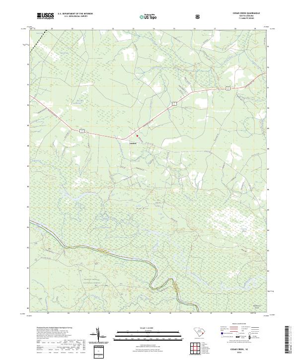
2024 Cedar Creek
Georgetown County, SC

2024 Georgetown North
Georgetown County, SC

2024 Georgetown South
Georgetown County, SC
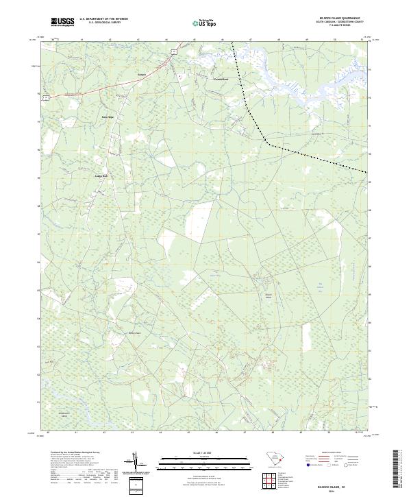
2024 Kilsock Island
Georgetown County, SC

2024 Magnolia Beach
Georgetown County, SC
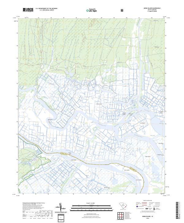
2024 Minim Island
Georgetown County, SC
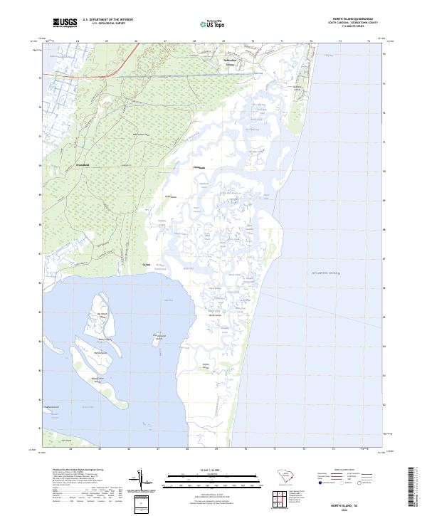
2024 North Island
Georgetown County, SC
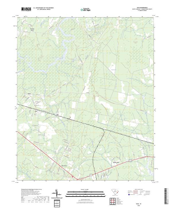
2024 Olin
Georgetown County, SC
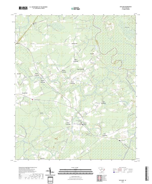
2024 Outland
Georgetown County, SC
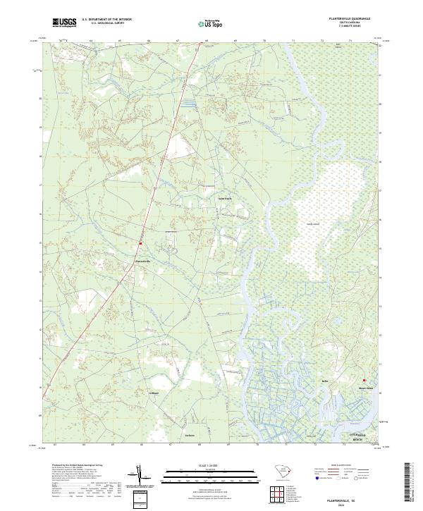
2024 Plantersville
Georgetown County, SC
2024 Rhems
Georgetown County, SC
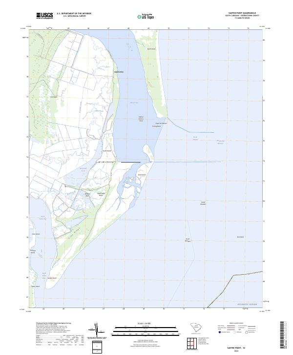
2024 Santee Point
Georgetown County, SC

2024 Waverly Mills
Georgetown County, SC
2024 Yauhannah
Georgetown County, SC