
1967 Map of Rhineland
USGS Topo · Published 1970About this map
Rhineland stands as a focal point in this 1960s landscape, situated just south of the winding Brazos River. The topography is defined by the sharp transition between the river lowlands and the higher breaks to the north, most notably at the geological formation known as The Narrows. This area exhibits a distinct ranching and petroleum economy, evidenced by the numerous named water catchments like Shipman Trap Tank and Glover Trap Tank, alongside clusters of Oil Wells and a prominent Pipeline. To the west, the confluence of Dutchman Creek with the river is flanked by Lake Catharine and Lake Davis. The map captures the organized layout of the region before further modernization, showing the grid-like township structure and rural infrastructure including many Gravel Pits and localized basins such as Atkinson Tank.
Find a feature on this map
39 named features on this map. Tap any name to fly to it.
Don’t see what you’re looking for? This feature index may not catch every label — zoom into the map to look around manually.
Map Details
Editions of this 1967 Rhineland Map
This is the sole edition of this map. No revisions or reprints were ever made.
Other maps of this area

1954 · Wichita Falls
USGS Topo · 1:250,000

1958 · Wichita Falls
USGS Topo · 1:250,000

1966 · Truscott South
USGS Topo · 1:24,000

1966 · Gilliland
USGS Topo · 1:24,000

1966 · Vera
USGS Topo · 1:24,000

1967 · Hefner
USGS Topo · 1:24,000

1967 · Benjamin
USGS Topo · 1:24,000

1968 · Munday West
USGS Topo · 1:24,000
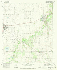
1968 · Munday East
USGS Topo · 1:24,000
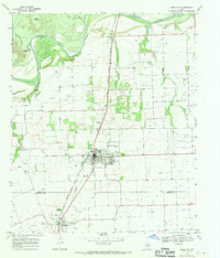
1968 · Knox City
USGS Topo · 1:24,000