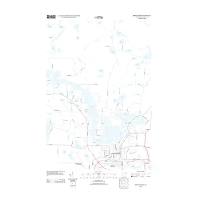
2013 Map of Rhinelander
USGS Topo · Published 2013About this map
Rhinelander serves as the focal point of this Northwoods Wisconsin landscape, where the Wisconsin River meets the Pelican River. The city's geography is defined by its industrial and recreational relationship with the water, particularly the sprawling Boom Lake which dominates the central portion of the sheet. Modern infrastructure is evident in the presence of the Rhinelander-Oneida County Airport and the Rhinelander Wastewater Treatment Facility, indicating the area's role as a regional hub.
Find a feature on this map
125 named features on this map. Tap any name to fly to it.
Don’t see what you’re looking for? This feature index may not catch every label — zoom into the map to look around manually.
Map Details
Editions of this 2013 Rhinelander Map
This is the sole edition of this map. No revisions or reprints were ever made.
Other maps of this area

1930 · Robbins
USGS Topo · 1:48,000

1938 · Minocqua
USGS Topo · 1:48,000

1938 · Robbins
USGS Topo · 1:48,000

1939 · Cassian
USGS Topo · 1:48,000

1940 · Rhinelander
USGS Topo · 1:48,000

1942 · Cassian
USGS Topo · 1:48,000

1945 · Robbins
USGS Topo · 1:48,000

1946 · Minocqua
USGS Topo · 1:48,000

1949 · Rhinelander
USGS Topo · 1:48,000

1949 · Minocqua
USGS Topo · 1:48,000