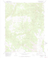
1983 Map of Rice Mountain
USGS Topo · Published 1983About this map
Thompson Mountain and Rice Mountain anchor this landscape of high gulches and arid ridges in Fremont County. The map details an area defined by deep drainages like Gooseberry Gulch and Wilson Gulch, which carve through prominent uplands including Blue Ridge and Eightmile Mountain. The presence of several Prospect labels and a Mine near Maverick Springs Draw indicates a history of resource exploration throughout the high country.
Find a feature on this map
32 named features on this map. Tap any name to fly to it.
Don’t see what you’re looking for? This feature index may not catch every label — zoom into the map to look around manually.
Map Details
Editions of this 1983 Rice Mountain Map
2 editions found
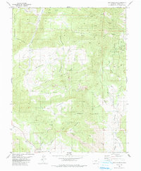
Other maps of this area

1889 · Canon City
USGS Topo · 1:125,000

1892 · Canon City
USGS Topo · 1:125,000

1894 · Pikes Peak
USGS Topo · 1:125,000

1901 · Pikes Peak
USGS Topo · 1:125,000

1942 · Cover Mtn.
USGS Topo · 1:62,500

1948 · Cover Mtn.
USGS Topo · 1:62,500

1951 · Cripple Creek South
USGS Topo · 1:24,000

1954 · Cooper Mountain
USGS Topo · 1:24,000

1954 · Pueblo
USGS Topo · 1:250,000

1957 · Pueblo
USGS Topo · 1:250,000