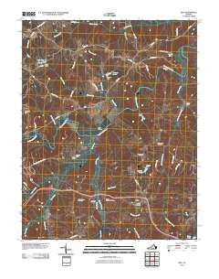
2010 Map of Rice
USGS Topo · Published 2010About this map
High Bridge serves as the dominant landmark for this Southside Virginia landscape, spanning the broad valley of the Appomattox River. The terrain is defined by a dense network of waterways including the Bush River, Sandy River, and Saylers Creek, which converge in a region historically significant for its strategic crossings and early rural settlements. Small communities and historical junctions like Rice, Stoddert, and Raines Tavern anchor the local road network, reflecting a pattern of 19th-century growth that followed the river and rail corridors.
Find a feature on this map
55 named features on this map. Tap any name to fly to it.
Don’t see what you’re looking for? This feature index may not catch every label — zoom into the map to look around manually.
Map Details
Editions of this 2010 Rice Map
This is the sole edition of this map. No revisions or reprints were ever made.
Other maps of this area

1891 · Farmville
USGS Topo · 1:125,000

1893 · Farmville
USGS Topo · 1:125,000

1947 · Roanoke
USGS Topo · 1:250,000

1958 · Farmville
USGS Topo · 1:62,500

1958 · Jetersville
USGS Topo · 1:62,500

1958 · Crewe
USGS Topo · 1:62,500

1958 · Keysville
USGS Topo · 1:62,500

1959 · Roanoke
USGS Topo · 1:250,000

1963 · Roanoke
USGS Topo · 1:250,000
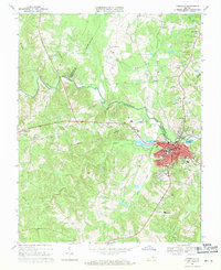
1968 · Farmville
USGS Topo · 1:24,000