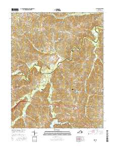
2016 Map of Rice
USGS Topo · Published 2016About this map
The Appomattox River carves a winding boundary between Cumberland and Prince Edward counties, anchoring a landscape defined by its deep historical roots. In the community of Rice, the convergence of local roads like Monroe Church Rd and the presence of Pisgah Cem reflect a pattern of small rural settlements. Further north, the prominent landmark of High Bridge stands as a significant geographic and historical point near the High Bridge Cem.
Find a feature on this map
91 named features on this map. Tap any name to fly to it.
Don’t see what you’re looking for? This feature index may not catch every label — zoom into the map to look around manually.
Map Details
Editions of this 2016 Rice Map
This is the sole edition of this map. No revisions or reprints were ever made.
Other maps of this area

1891 · Farmville
USGS Topo · 1:125,000

1893 · Farmville
USGS Topo · 1:125,000

1947 · Roanoke
USGS Topo · 1:250,000

1958 · Farmville
USGS Topo · 1:62,500

1958 · Jetersville
USGS Topo · 1:62,500

1958 · Crewe
USGS Topo · 1:62,500

1958 · Keysville
USGS Topo · 1:62,500

1959 · Roanoke
USGS Topo · 1:250,000

1963 · Roanoke
USGS Topo · 1:250,000
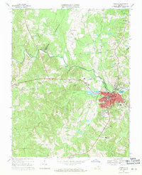
1968 · Farmville
USGS Topo · 1:24,000