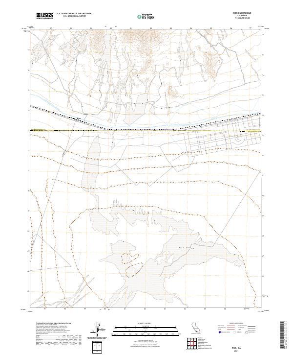
2021 Map of Rice
USGS Topo · Published 2021About this map
Rice stands as a lonely point of transit in the high desert, positioned at the junction of Midland Rd and Aqueduct Rd. This remote landscape is defined by the vast, arid expanse of Rice Valley, which stretches across the southern half of the quadrangle. The map reveals the critical infrastructure that sustains life and industry in the California desert, most notably the path of the Colorado River Aqueduct as it traverses the terrain near the San Bernardino and Riverside county lines. The layout of the region reflects a mid-century reliance on long-distance water transport and singular road corridors that connect distant desert outposts. This survey captures the sparse settlement patterns and the dominance of the natural basin geography before further modernization or shifts in regional land use.
Find a feature on this map
11 named features on this map. Tap any name to fly to it.
Don’t see what you’re looking for? This feature index may not catch every label — zoom into the map to look around manually.
Map Details
Editions of this 2021 Rice Map
This is the sole edition of this map. No revisions or reprints were ever made.
Other maps of this area

1942 · Blythe
USGS Topo · 1:250,000

1943 · Vidal
USGS Topo · 1:62,500

1945 · Big Maria Mtns
USGS Topo · 1:62,500

1945 · Midland
USGS Topo · 1:62,500

1949 · Vidal
USGS Topo · 1:62,500

1950 · Vidal
USGS Topo · 1:62,500

1951 · Big Maria Mts
USGS Topo · 1:62,500

1952 · Midland
USGS Topo · 1:62,500

1954 · Salton Sea
USGS Topo · 1:250,000

1954 · Needles
USGS Topo · 1:250,000