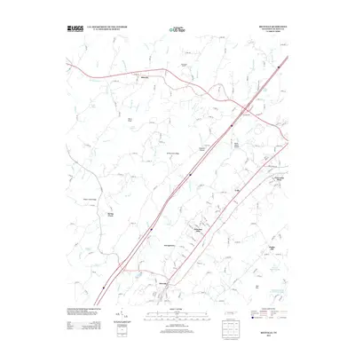
2013 Map of Riceville
USGS Topo · Published 2013About this map
Riceville and Georgetown anchor the central corridor of this McMinn County landscape, where Interstate 75 and Highway 11 slice through a series of parallel ridges. The terrain is defined by prominent elevations such as Spring Creek Ridge and Rogers Creek Ridge, which direct the flow of N Mouse Creek and Spring Creek through the valleys. The settlement pattern shows modern residential clusters like Suburban Hills and Pickwatina Place alongside older locales like Coile and Idlewild.
Find a feature on this map
161 named features on this map. Tap any name to fly to it.
Don’t see what you’re looking for? This feature index may not catch every label — zoom into the map to look around manually.
Map Details
Editions of this 2013 Riceville Map
This is the sole edition of this map. No revisions or reprints were ever made.
Other maps of this area

1886 · Cleveland
USGS Topo · 1:125,000

1887 · Kingston
USGS Topo · 1:125,000

1891 · Kingston
USGS Topo · 1:125,000

1892 · Cleveland
USGS Topo · 1:125,000

1893 · Kingston
USGS Topo · 1:125,000

1895 · Cleveland
USGS Topo · 1:125,000

1901 · Cleveland
USGS Topo · 1:125,000

1935 · Niota
USGS Topo · 1:24,000

1935 · Calhoun
USGS Topo · 1:24,000

1935 · Athens
USGS Topo · 1:24,000