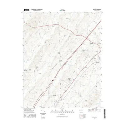
2016 Map of Riceville
USGS Topo · Published 2016About this map
Riceville and the western outskirts of Athens define this McMinn County landscape, where the CSX Transportation rail corridor runs parallel to the modern Interstate highway. The area is dense with family and community history, evidenced by a high concentration of cemeteries such as McMahan Church Cem and Oak Grove Baptist Church Cem. The topography is shaped by prominent ridges like Spring Creek Ridge and Mouse Creek Ridge, which direct the flow of Spring Creek and North Mouse Creek toward the Oostanaula Valley. Smaller residential clusters like Georgetown, Coile, and Pickwatina Place are interspersed among the valley's springs and lakes, including Webb Lake and Blazer Lake. The network of county roads, such as Co RD 119 and Decatur Pike, connects these established rural settlements with the industrial and commercial growth expanding from the regional center.
Find a feature on this map
160 named features on this map. Tap any name to fly to it.
Don’t see what you’re looking for? This feature index may not catch every label — zoom into the map to look around manually.
Map Details
Editions of this 2016 Riceville Map
This is the sole edition of this map. No revisions or reprints were ever made.
Other maps of this area

1886 · Cleveland
USGS Topo · 1:125,000

1887 · Kingston
USGS Topo · 1:125,000

1891 · Kingston
USGS Topo · 1:125,000

1892 · Cleveland
USGS Topo · 1:125,000

1893 · Kingston
USGS Topo · 1:125,000

1895 · Cleveland
USGS Topo · 1:125,000

1901 · Cleveland
USGS Topo · 1:125,000

1935 · Niota
USGS Topo · 1:24,000

1935 · Calhoun
USGS Topo · 1:24,000

1935 · Athens
USGS Topo · 1:24,000