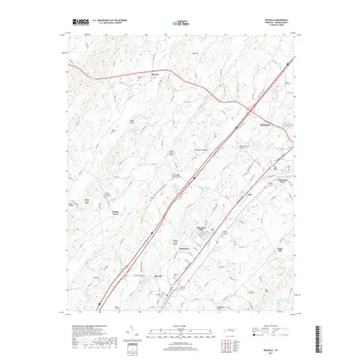
2019 Map of Riceville
USGS Topo · Published 2019About this map
The settlement of Riceville serves as a focal point in this portion of McMinn County, situated where the N Mouse Cr valley meets the transportation corridors of the Interstate 75 and the E Railroad St rail line. This 2019 survey illustrates a landscape of ridges and valleys typical of East Tennessee, defined by Spring Creek Ridge and Mouse Creek Ridge. Local genealogy is well-documented through numerous family and community burial grounds, including the Hilltop Cem, Walnut Grove Cem, and Horton Cem. To the north, the smaller community of Idlewild sits near the crossing of Rock Cr, while the edge of Athens appears in the northeast. The map also captures several water features significant to the local geography, such as Blazer Lake and William Browder Lake, alongside various springs like Kinzalow Spring and Cate Spring that dot the valley floors.
Find a feature on this map
149 named features on this map. Tap any name to fly to it.
Don’t see what you’re looking for? This feature index may not catch every label — zoom into the map to look around manually.
Map Details
Editions of this 2019 Riceville Map
This is the sole edition of this map. No revisions or reprints were ever made.
Other maps of this area

1886 · Cleveland
USGS Topo · 1:125,000

1887 · Kingston
USGS Topo · 1:125,000

1891 · Kingston
USGS Topo · 1:125,000

1892 · Cleveland
USGS Topo · 1:125,000

1893 · Kingston
USGS Topo · 1:125,000

1895 · Cleveland
USGS Topo · 1:125,000

1901 · Cleveland
USGS Topo · 1:125,000

1935 · Niota
USGS Topo · 1:24,000

1935 · Calhoun
USGS Topo · 1:24,000

1935 · Athens
USGS Topo · 1:24,000