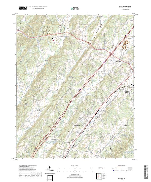
2022 Map of Riceville
USGS Topo · Published 2022About this map
Riceville and the western edge of Athens anchor this McMinn County landscape, where the long ridges and valleys typical of East Tennessee define the local geography. The area is marked by a high density of small family and community burial grounds, such as Horton Cem and Riceville Cem, often situated near rural congregations like the Oak Grove Baptist Church Cem. These sites, along with smaller settlements like Idlewild and Georgetown, reflect a historical pattern of kinship-based development along the valley floor.
Find a feature on this map
151 named features on this map. Tap any name to fly to it.
Don’t see what you’re looking for? This feature index may not catch every label — zoom into the map to look around manually.
Map Details
Editions of this 2022 Riceville Map
This is the sole edition of this map. No revisions or reprints were ever made.
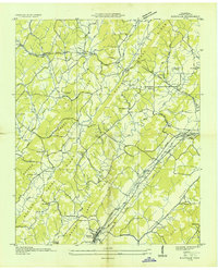
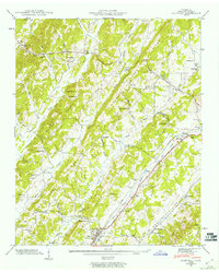
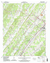
Historical Maps of Suburban Hills Through Time
4 maps found