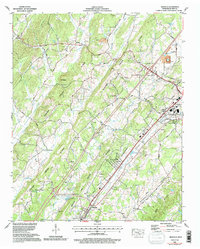
1964 Map of Riceville
USGS Topo · Published 1996About this map
Riceville and the surrounding McMinn County landscape are defined by a series of southwest-trending ridges and valleys, including the prominent Dry Valley and the Red Hills. This survey, updated with imagery from 1990, shows the city of Athens expanding at its southern boundary, where the State Area Voc Tech Sch and Emmanuel Ch are located near the intersection of modern transit corridors. The rural character of the region remains visible through the numerous family-named burial grounds and congregations such as Lillard Memorial Cem, Dennis Cem, and Oak Grove Ch. Industrial activity is represented by a Strip mine near Idlewild and a Quarry situated near Webb Lake. The Southern railroad line runs parallel to North Mouse Creek, illustrating the historical transport backbone that supported these valley settlements.
Find a feature on this map
61 named features on this map. Tap any name to fly to it.
Don’t see what you’re looking for? This feature index may not catch every label — zoom into the map to look around manually.
Map Details
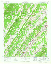
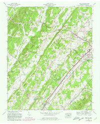
Editions of this 1964 Riceville Map
3 editions found
Other maps of this area

1886 · Cleveland
USGS Topo · 1:125,000

1887 · Kingston
USGS Topo · 1:125,000

1891 · Kingston
USGS Topo · 1:125,000

1892 · Cleveland
USGS Topo · 1:125,000

1893 · Kingston
USGS Topo · 1:125,000

1895 · Cleveland
USGS Topo · 1:125,000

1901 · Cleveland
USGS Topo · 1:125,000

1935 · Niota
USGS Topo · 1:24,000

1935 · Calhoun
USGS Topo · 1:24,000

1935 · Athens
USGS Topo · 1:24,000