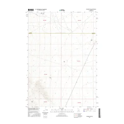
2017 Map of Richard Butte
USGS Topo · Published 2017About this map
Goddard Cem rests at the northern edge of this high-desert landscape near Tyler Canyon, marking a quiet point of local genealogy in a region defined by its volcanic and tectonic history. The survey captures the sharp transition between the alluvial plains and the rising slopes of the Lemhi Range, which dominates the southwestern corner of the sheet. This transition zone is a mosaic of geologic features, including the prominent Richard Butte and the extensive Lava Ridge.
Find a feature on this map
16 named features on this map. Tap any name to fly to it.
Don’t see what you’re looking for? This feature index may not catch every label — zoom into the map to look around manually.
Map Details
Editions of this 2017 Richard Butte Map
This is the sole edition of this map. No revisions or reprints were ever made.
Other maps of this area

1955 · Dubois
USGS Topo · 1:250,000

1955 · Idaho Falls
USGS Topo · 1:250,000

1958 · Dubois
USGS Topo · 1:250,000

1958 · Idaho Falls
USGS Topo · 1:250,000

1969 · Little Lost River Sinks
USGS Topo · 1:24,000

1969 · Circular Butte
USGS Topo · 1:24,000

1969 · Circular Butte NW
USGS Topo · 1:24,000

1969 · Eightmile Canyon
USGS Topo · 1:24,000

1969 · Richard Butte
USGS Topo · 1:24,000

1969 · Tyler Peak
USGS Topo · 1:24,000